Distance to Miamitown, Ohio

Calculating Your Route
Just a moment while we process your request...
Location Information
-
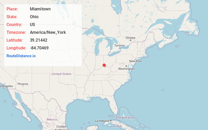
Full AddressMiamitown, OH 45002
-
Coordinates39.2144197, -84.7046899
-
LocationMiamitown , Ohio , US
-
TimezoneAmerica/New_York
-
Current Local Time2:26:23 PM America/New_YorkTuesday, June 24, 2025
-
Page Views0
About Miamitown
Miamitown is a census-designated place in western Whitewater Township, Hamilton County, Ohio, United States. The population was 1,256 at the 2020 census. It has a post office with the ZIP code 45041.

Nearby Places
Found 10 places within 50 miles

Blue Jay
1.9 mi
3.1 km
Blue Jay, OH 45002
Get directions
Taylor Creek
2.9 mi
4.7 km
Taylor Creek, OH
Get directions
Dent
3.5 mi
5.6 km
Dent, OH
Get directions
New Baltimore
4.0 mi
6.4 km
New Baltimore, OH 45030
Get directions

Cleves
4.3 mi
6.9 km
Cleves, OH
Get directions
Mack
4.6 mi
7.4 km
Mack, OH
Get directions
North Bend
4.9 mi
7.9 km
North Bend, OH
Get directions

Bridgetown North
5.4 mi
8.7 km
Bridgetown North, OH
Get directions

Harrison
5.4 mi
8.7 km
Harrison, OH 45030
Get directions
Dry Ridge
5.5 mi
8.9 km
Dry Ridge, OH 45252
Get directions
Location Links
Local Weather
Weather Information
Coming soon!
Location Map
Static map view of Miamitown, Ohio
Browse Places by Distance
Places within specific distances from Miamitown
Short Distances
Long Distances
Click any distance to see all places within that range from Miamitown. Distances shown in miles (1 mile ≈ 1.61 kilometers).