Distance to Michfield, North Carolina

Calculating Your Route
Just a moment while we process your request...
Location Information
-
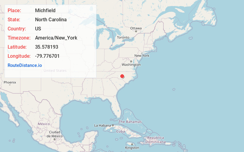
Full AddressMichfield, NC 27205
-
Coordinates35.5781925, -79.7767007
-
LocationNorth Carolina , US
-
TimezoneAmerica/New_York
-
Current Local Time6:54:48 PM America/New_YorkTuesday, June 17, 2025
-
Page Views0
Nearby Places
Found 10 places within 50 miles

Seagrove
2.6 mi
4.2 km
Seagrove, NC
Get directions

Aumans Crossroads
3.8 mi
6.1 km
Aumans Crossroads, NC 27205
Get directions
Ulah
4.9 mi
7.9 km
Ulah, NC 27205
Get directions
Westmoore
6.3 mi
10.1 km
Westmoore, NC 27341
Get directions
Steeds
7.4 mi
11.9 km
Steeds, NC 27341
Get directions
Jugtown
8.6 mi
13.8 km
Jugtown, NC 27341
Get directions

Asheboro
9.2 mi
14.8 km
Asheboro, NC
Get directions
Cheeks
11.1 mi
17.9 km
Cheeks, NC 27316
Get directions

Star
12.2 mi
19.6 km
Star, NC 27356
Get directions

Franklinville
12.4 mi
20.0 km
Franklinville, NC
Get directions
Location Links
Local Weather
Weather Information
Coming soon!
Location Map
Static map view of Michfield, North Carolina
Browse Places by Distance
Places within specific distances from Michfield
Short Distances
Long Distances
Click any distance to see all places within that range from Michfield. Distances shown in miles (1 mile ≈ 1.61 kilometers).