Distance to Milberger, Kansas

Calculating Your Route
Just a moment while we process your request...
Location Information
-
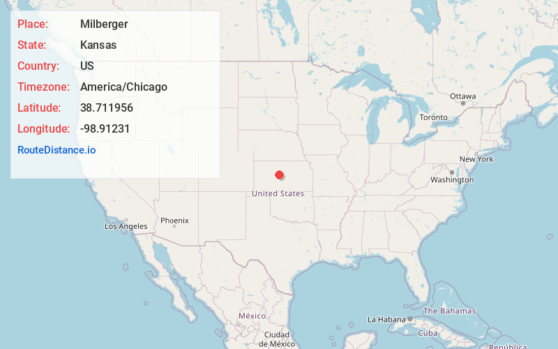
Full AddressMilberger, Lincoln Township, KS 67665
-
Coordinates38.7119562, -98.9123098
-
LocationLincoln Township , Kansas , US
-
TimezoneAmerica/Chicago
-
Current Local Time2:56:12 PM America/ChicagoSaturday, June 28, 2025
-
Page Views0
About Milberger
Milberger is an unincorporated community in Lincoln Township, Russell County, Kansas, United States. It is located approximately 10.5 miles south of Russell and 3.5 miles west of U.S. Route 281 on Michaelis Road.
Nearby Places
Found 10 places within 50 miles

Millard
5.3 mi
8.5 km
Millard, Wheatland Township, KS 67544
Get directions
Galatia
5.5 mi
8.9 km
Galatia, KS
Get directions
Stickney
6.8 mi
10.9 km
Stickney, Wheatland Township, KS 67544
Get directions
Susank
8.9 mi
14.3 km
Susank, KS
Get directions
Homer
12.5 mi
20.1 km
Homer, Grant Township, KS 67665
Get directions

Russell
13.0 mi
20.9 km
Russell, KS 67665
Get directions
Gorham
13.2 mi
21.2 km
Gorham, KS 67640
Get directions
Olmitz
13.6 mi
21.9 km
Olmitz, KS 67564
Get directions
Pfeifer
13.7 mi
22.0 km
Pfeifer, KS 67660
Get directions
Boyd
13.8 mi
22.2 km
Boyd, Eureka Township, KS 67544
Get directions
Location Links
Local Weather
Weather Information
Coming soon!
Location Map
Static map view of Milberger, Kansas
Browse Places by Distance
Places within specific distances from Milberger
Short Distances
Long Distances
Click any distance to see all places within that range from Milberger. Distances shown in miles (1 mile ≈ 1.61 kilometers).