Distance to Milburn, Texas

Calculating Your Route
Just a moment while we process your request...
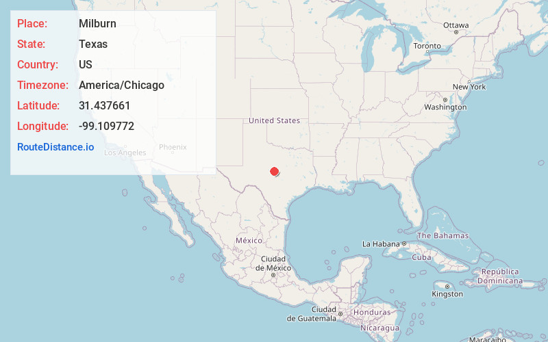
Location Information
-
Full AddressMilburn, TX 76827
-
Coordinates31.4376614, -99.1097717
-
LocationTexas , US
-
TimezoneAmerica/Chicago
-
Current Local Time2:50:38 PM America/ChicagoSaturday, May 31, 2025
-
Page Views0
Nearby Places
Found 10 places within 50 miles

Mercury
3.3 mi
5.3 km
Mercury, TX 76872
Get directions
Winchell
3.4 mi
5.5 km
Winchell, TX 76827
Get directions
Holt
6.5 mi
10.5 km
Holt, TX 76871
Get directions
Dulin
6.5 mi
10.5 km
Dulin, TX 76827
Get directions
Brookesmith
7.8 mi
12.6 km
Brookesmith, TX 76827
Get directions
Placid
8.9 mi
14.3 km
Placid, TX 76872
Get directions
Bowser
9.0 mi
14.5 km
Bowser, TX 76872
Get directions
Skeeterville
10.4 mi
16.7 km
Skeeterville, TX 76871
Get directions
Hall
11.1 mi
17.9 km
Hall, TX 76871
Get directions

Whon
12.1 mi
19.5 km
Whon, TX 76878
Get directions
Location Links
Local Weather
Weather Information
Coming soon!
Location Map
Static map view of Milburn, Texas
Browse Places by Distance
Places within specific distances from Milburn
Short Distances
Long Distances
Click any distance to see all places within that range from Milburn. Distances shown in miles (1 mile ≈ 1.61 kilometers).