Distance to Milburn, Nebraska

Calculating Your Route
Just a moment while we process your request...
Location Information
-
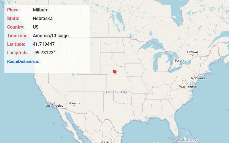
Full AddressMilburn, NE 68813
-
Coordinates41.7194473, -99.7312313
-
LocationMilburn , Nebraska , US
-
TimezoneAmerica/Chicago
-
Current Local Time3:57:04 PM America/ChicagoTuesday, May 20, 2025
-
Page Views0
About Milburn
Milburn is an unincorporated community in Custer County, Nebraska, United States.
Milburn is located within the boundaries of the 68813 Zip code, serviced out of Anselmo, Nebraska. It is also located at the northwestern edge of the Milburn Township boundary. It is in Nebraska State Senate district 43.
Nearby Places
Found 10 places within 50 miles

Gates
7.4 mi
11.9 km
Gates, Lillian Township, NE 68822
Get directions

Anselmo
9.8 mi
15.8 km
Anselmo, NE 68813
Get directions
Lillian
10.0 mi
16.1 km
Lillian, NE 68822
Get directions
Almeria
13.0 mi
20.9 km
Almeria, NE 68879
Get directions
Linscott
14.7 mi
23.7 km
Linscott, Dunning Precinct, NE 68813
Get directions

Merna
16.3 mi
26.2 km
Merna, NE
Get directions

Brewster
16.7 mi
26.9 km
Brewster, NE
Get directions
Blaine County
17.4 mi
28.0 km
Blaine County, NE
Get directions

Taylor
18.5 mi
29.8 km
Taylor, NE
Get directions
Sargent
19.4 mi
31.2 km
Sargent, NE 68874
Get directions
Location Links
Local Weather
Weather Information
Coming soon!
Location Map
Static map view of Milburn, Nebraska
Browse Places by Distance
Places within specific distances from Milburn
Short Distances
Long Distances
Click any distance to see all places within that range from Milburn. Distances shown in miles (1 mile ≈ 1.61 kilometers).