Distance to Mildenhall, England

Calculating Your Route
Just a moment while we process your request...
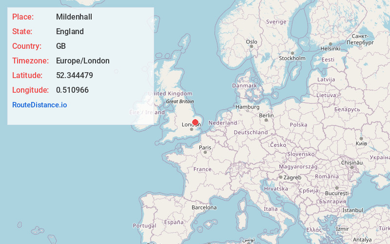
Location Information
-
Full AddressMildenhall, Bury Saint Edmunds, UK
-
Coordinates52.3444787, 0.5109664
-
NeighborhoodMildenhall
-
LocationBury Saint Edmunds , England , GB
-
TimezoneEurope/London
-
Current Local Time5:35:57 AM Europe/LondonMonday, May 19, 2025
-
Page Views0
About Mildenhall
Mildenhall is a market town in the civil parish of Mildenhall High, in the West Suffolk district, in the county of Suffolk, England. The town is near the A11, and is 37 mi north-west of Ipswich. The large Royal Air Force station, RAF Mildenhall, as well as RAF Lakenheath, are located north of the town.


Nearby Places


Location Links
Local Weather
Weather Information
Coming soon!
Location Map
Static map view of Mildenhall, England
Browse Places by Distance
Places within specific distances from Mildenhall
Short Distances
Long Distances
Click any distance to see all places within that range from Mildenhall. Distances shown in miles (1 mile ≈ 1.61 kilometers).