Distance to Mill Iron, Montana

Calculating Your Route
Just a moment while we process your request...
Location Information
-
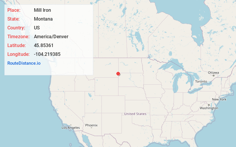
Full AddressMill Iron, MT 59324
-
Coordinates45.8536104, -104.2193852
-
LocationMill Iron , Montana , US
-
TimezoneAmerica/Denver
-
Current Local Time9:03:01 PM America/DenverTuesday, May 20, 2025
-
Page Views0
About Mill Iron
Mill Iron is an unincorporated community in Carter County, Montana, United States. Mill Iron is 16.2 miles east of Ekalaka. The community had its own post office until January 1, 1994.
Nearby Places
Found 10 places within 50 miles

Ekalaka
16.2 mi
26.1 km
Ekalaka, MT 59324
Get directions

Belltower
16.7 mi
26.9 km
Belltower, MT 59324
Get directions
Ladner
23.7 mi
38.1 km
Ladner, SD 57720
Get directions
Camp Crook
24.1 mi
38.8 km
Camp Crook, SD 57724
Get directions
Karinen
26.4 mi
42.5 km
Karinen, SD 58623
Get directions

Marmarth
33.7 mi
54.2 km
Marmarth, ND 58643
Get directions

Baker
35.8 mi
57.6 km
Baker, MT 59313
Get directions

Harding County
36.6 mi
58.9 km
Harding County, SD
Get directions

Buffalo
37.4 mi
60.2 km
Buffalo, SD 57720
Get directions
Rhame
37.6 mi
60.5 km
Rhame, ND 58651
Get directions
Location Links
Local Weather
Weather Information
Coming soon!
Location Map
Static map view of Mill Iron, Montana
Browse Places by Distance
Places within specific distances from Mill Iron
Short Distances
Long Distances
Click any distance to see all places within that range from Mill Iron. Distances shown in miles (1 mile ≈ 1.61 kilometers).