Distance to Millcreek, Missouri

Calculating Your Route
Just a moment while we process your request...
Location Information
-
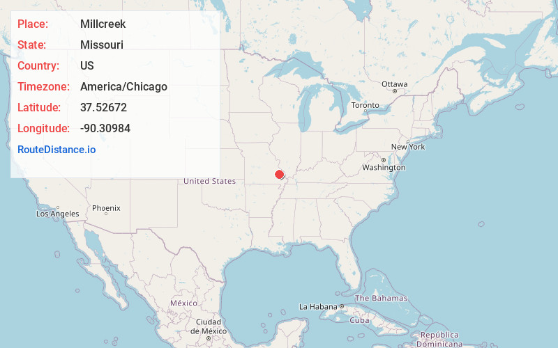
Full AddressMillcreek, MO 63645
-
Coordinates37.5267201, -90.30984
-
LocationMillcreek , Missouri , US
-
TimezoneAmerica/Chicago
-
Current Local Time10:47:01 PM America/ChicagoMonday, June 16, 2025
-
Page Views0
About Millcreek
Millcreek is an unincorporated community in Castor Township in Madison County, Missouri, United States. It is located on Mill Creek, just east of U.S. Route 67, approximately three miles south of Fredericktown.
A post office called Millcreek was established in 1909, and remained in operation until 1976.

Nearby Places
Found 10 places within 50 miles

Cobalt
1.8 mi
2.9 km
Cobalt, MO 63645
Get directions

Fredericktown
2.5 mi
4.0 km
Fredericktown, MO 63645
Get directions
Cherokee Pass
2.6 mi
4.2 km
Cherokee Pass, MO 63645
Get directions
Catherine Place
3.4 mi
5.5 km
Catherine Place, Fredericktown, MO 63645
Get directions
Junction City
3.6 mi
5.8 km
Junction City, MO 63645
Get directions
Cornwall
5.9 mi
9.5 km
Cornwall, MO 63645
Get directions
Mine La Motte
6.2 mi
10.0 km
Mine La Motte, MO 63645
Get directions
Zion
7.3 mi
11.7 km
Zion, MO 63645
Get directions


Leaflet © OpenStreetMap contributors
Location Links
Local Weather
Weather Information
Coming soon!
Location Map
Static map view of Millcreek, Missouri
Browse Places by Distance
Places within specific distances from Millcreek
Short Distances
Long Distances
Click any distance to see all places within that range from Millcreek. Distances shown in miles (1 mile ≈ 1.61 kilometers).