Distance to Millersville, Illinois

Calculating Your Route
Just a moment while we process your request...
Location Information
-
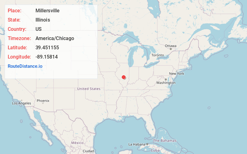
Full AddressMillersville, IL 62557
-
Coordinates39.4511546, -89.1581403
-
LocationMillersville , Illinois , US
-
TimezoneAmerica/Chicago
-
Current Local Time6:14:02 PM America/ChicagoSunday, June 1, 2025
-
Page Views0
About Millersville
Millersville is an unincorporated community in Christian County, Illinois, United States. It lies at 39°27′4″N 89°9′29″W, at an elevation of 656 feet.
Nearby Places
Found 10 places within 50 miles

Owaneco
2.9 mi
4.7 km
Owaneco, IL 62555
Get directions
Velma
5.9 mi
9.5 km
Velma, Locust Township, IL 62568
Get directions

Pana
6.0 mi
9.7 km
Pana, IL 62557
Get directions
Hewittville
6.7 mi
10.8 km
Hewittville, May Township, IL 62568
Get directions
Assumption
7.5 mi
12.1 km
Assumption, IL 62510
Get directions
Vanderville
7.7 mi
12.4 km
Vanderville, Greenwood Township, IL 62546
Get directions
Ohlman
8.0 mi
12.9 km
Ohlman, IL
Get directions

Taylorville
10.0 mi
16.1 km
Taylorville, IL
Get directions
Wenonah
11.3 mi
18.2 km
Wenonah, IL 62075
Get directions
Tower Hill
11.4 mi
18.3 km
Tower Hill, IL 62571
Get directions
Location Links
Local Weather
Weather Information
Coming soon!
Location Map
Static map view of Millersville, Illinois
Browse Places by Distance
Places within specific distances from Millersville
Short Distances
Long Distances
Click any distance to see all places within that range from Millersville. Distances shown in miles (1 mile ≈ 1.61 kilometers).