Distance to Millerton, Oklahoma

Calculating Your Route
Just a moment while we process your request...
Location Information
-
Full AddressMillerton, OK
-
Coordinates33.9859409, -95.0135582
-
LocationMillerton , Oklahoma , US
-
TimezoneAmerica/Chicago
-
Current Local Time5:24:16 AM America/ChicagoThursday, June 19, 2025
-
Page Views0
About Millerton
Millerton is a town in McCurtain County, Oklahoma, United States. The population was 359 at the 2000 census. The oldest church building in Oklahoma, Wheelock Church, is located near Millerton.
Nearby Places
Found 10 places within 50 miles

Valliant
4.7 mi
7.6 km
Valliant, OK 74764
Get directions

Wright City
5.2 mi
8.4 km
Wright City, OK 74745
Get directions

Idabel
12.4 mi
20.0 km
Idabel, OK 74745
Get directions

Fort Towson
14.7 mi
23.7 km
Fort Towson, OK 74735
Get directions

Broken Bow
16.0 mi
25.7 km
Broken Bow, OK
Get directions

Hochatown
18.8 mi
30.3 km
Hochatown, OK 74728
Get directions

Sawyer
20.6 mi
33.2 km
Sawyer, OK
Get directions

Haworth
22.8 mi
36.7 km
Haworth, OK
Get directions

Eagletown
25.3 mi
40.7 km
Eagletown, OK 74734
Get directions

Clarksville
26.0 mi
41.8 km
Clarksville, TX 75426
Get directions
Location Links
Local Weather
Weather Information
Coming soon!
Location Map
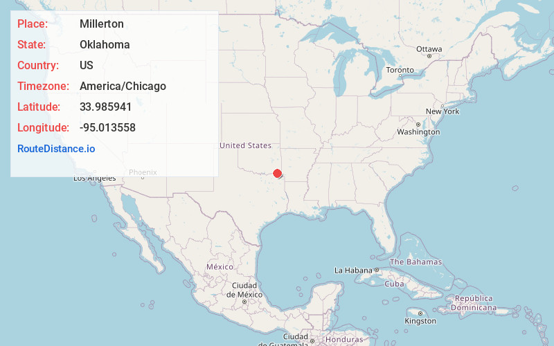
Static map view of Millerton, Oklahoma
Browse Places by Distance
Places within specific distances from Millerton
Short Distances
Long Distances
Click any distance to see all places within that range from Millerton. Distances shown in miles (1 mile ≈ 1.61 kilometers).