Distance to Millerville Township, Minnesota

Calculating Your Route
Just a moment while we process your request...
Location Information
-
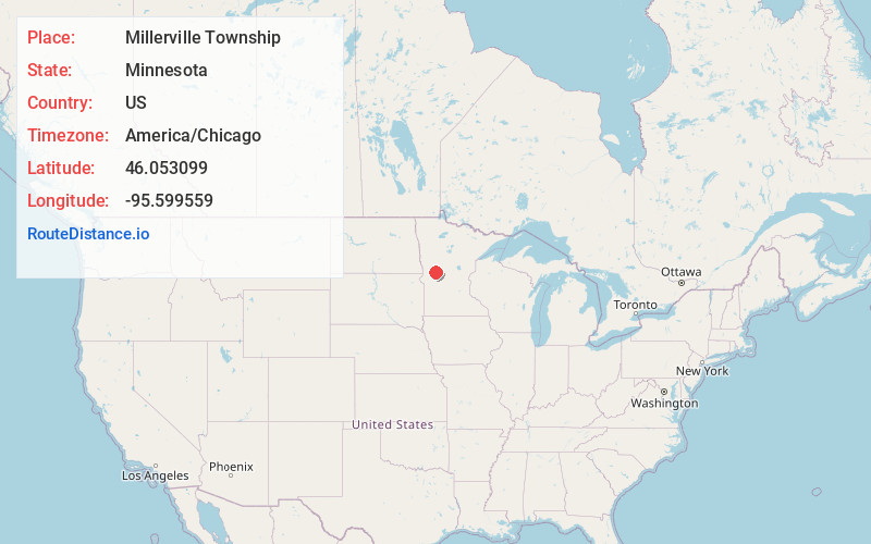
Full AddressMillerville Township, MN
-
Coordinates46.0530987, -95.5995589
-
LocationMillerville Township , Minnesota , US
-
TimezoneAmerica/Chicago
-
Current Local Time11:19:06 AM America/ChicagoFriday, June 6, 2025
-
Page Views0
About Millerville Township
Millerville Township is a township in Douglas County, Minnesota, United States. The population was 350 at the 2000 census.
Millerville Township was organized in 1867, and named for John Miller, an early settler.
Nearby Places
Found 10 places within 50 miles

Millerville
2.0 mi
3.2 km
Millerville, MN 56315
Get directions
Lund Township
4.2 mi
6.8 km
Lund Township, MN
Get directions
Evansville
5.2 mi
8.4 km
Evansville, MN 56326
Get directions

Brandon Township
6.0 mi
9.7 km
Brandon Township, MN
Get directions

Brandon
6.1 mi
9.8 km
Brandon, MN 56315
Get directions
Urbank
6.4 mi
10.3 km
Urbank, MN
Get directions
Melby
6.6 mi
10.6 km
Melby, MN 56326
Get directions
Leaf Valley
6.8 mi
10.9 km
Leaf Valley, MN 56332
Get directions

Garfield
9.3 mi
15.0 km
Garfield, MN 56332
Get directions

Ashby
10.8 mi
17.4 km
Ashby, MN 56309
Get directions
Location Links
Local Weather
Weather Information
Coming soon!
Location Map
Static map view of Millerville Township, Minnesota
Browse Places by Distance
Places within specific distances from Millerville Township
Short Distances
Long Distances
Click any distance to see all places within that range from Millerville Township. Distances shown in miles (1 mile ≈ 1.61 kilometers).