Distance to Milligan, Ohio

Calculating Your Route
Just a moment while we process your request...
Location Information
-
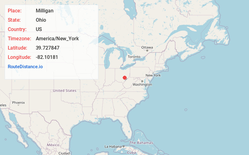
Full AddressMilligan, Bearfield Township, OH 43731
-
Coordinates39.7278465, -82.1018099
-
LocationBearfield Township , Ohio , US
-
TimezoneAmerica/New_York
-
Current Local Time8:52:29 PM America/New_YorkWednesday, June 18, 2025
-
Page Views0
About Milligan
Milligan is a small unincorporated community in southern Harrison Township, Perry County, Ohio, United States. It is located on State Route 93 between Crooksville and New Lexington.
Nearby Places
Found 10 places within 50 miles

McLuney
0.9 mi
1.4 km
McLuney, OH 43731
Get directions
Rose Farm
1.4 mi
2.3 km
Rose Farm, OH 43731
Get directions
Conway Addition
1.8 mi
2.9 km
Conway Addition, Harrison Township, OH 43731
Get directions

Crooksville
2.9 mi
4.7 km
Crooksville, OH 43731
Get directions
Oakfield
4.8 mi
7.7 km
Oakfield, Pleasant Township, OH 43731
Get directions
Redfield
5.5 mi
8.9 km
Redfield, Clayton Township, OH 43764
Get directions

Roseville
5.7 mi
9.2 km
Roseville, OH 43777
Get directions
New Lexington
5.7 mi
9.2 km
New Lexington, OH 43764
Get directions

San Toy
6.1 mi
9.8 km
San Toy, Bearfield Township, OH 43730
Get directions
Alabama Hill
7.0 mi
11.3 km
Alabama Hill, OH 43730
Get directions
Location Links
Local Weather
Weather Information
Coming soon!
Location Map
Static map view of Milligan, Ohio
Browse Places by Distance
Places within specific distances from Milligan
Short Distances
Long Distances
Click any distance to see all places within that range from Milligan. Distances shown in miles (1 mile ≈ 1.61 kilometers).