Distance to Milo, Indiana

Calculating Your Route
Just a moment while we process your request...
Location Information
-
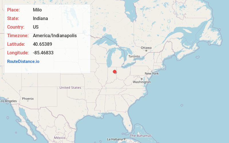
Full AddressMilo, IN 46991
-
Coordinates40.6538899, -85.46833
-
LocationMilo , Indiana , US
-
TimezoneAmerica/Indianapolis
-
Page Views0
About Milo
Milo is an unincorporated community in Jefferson Township, Huntington County, Indiana.
Nearby Places
Found 10 places within 50 miles

Warren
2.9 mi
4.7 km
Warren, IN 46792
Get directions

Van Buren
3.2 mi
5.1 km
Van Buren, IN 46991
Get directions

Dillman
3.7 mi
6.0 km
Dillman, IN 46792
Get directions
Landess
5.7 mi
9.2 km
Landess, IN
Get directions
Mt Etna
7.8 mi
12.6 km
Mt Etna, IN
Get directions
Roll
8.1 mi
13.0 km
Roll, IN 47348
Get directions
Liberty Center
10.3 mi
16.6 km
Liberty Center, IN 46766
Get directions

Keystone
11.7 mi
18.8 km
Keystone, IN
Get directions
Shady Hills
11.7 mi
18.8 km
Shady Hills, Center Township, IN 46952
Get directions
Fox
11.9 mi
19.2 km
Fox, IN 46952
Get directions
Location Links
Local Weather
Weather Information
Coming soon!
Location Map
Static map view of Milo, Indiana
Browse Places by Distance
Places within specific distances from Milo
Short Distances
Long Distances
Click any distance to see all places within that range from Milo. Distances shown in miles (1 mile ≈ 1.61 kilometers).