Distance to Minburn, Iowa

Calculating Your Route
Just a moment while we process your request...
Location Information
-
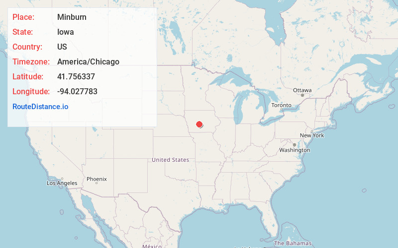
Full AddressMinburn, IA 50167
-
Coordinates41.7563366, -94.0277825
-
LocationMinburn , Iowa , US
-
TimezoneAmerica/Chicago
-
Current Local Time5:49:59 AM America/ChicagoSaturday, June 21, 2025
-
Page Views0
About Minburn
Minburn is a city in Dallas County, Iowa, United States. The population was 325 at the time of the 2020 census. This city is another one of those Dallas County cities that is part of the Des Moines–West Des Moines Metropolitan Statistical Area.

Nearby Places
Found 10 places within 50 miles

Dallas Center
6.0 mi
9.7 km
Dallas Center, IA 50063
Get directions

Perry
7.0 mi
11.3 km
Perry, IA 50220
Get directions

Woodward
8.8 mi
14.2 km
Woodward, IA 50276
Get directions

Adel
9.8 mi
15.8 km
Adel, IA 50003
Get directions

Granger
10.5 mi
16.9 km
Granger, IA 50109
Get directions

Waukee
12.6 mi
20.3 km
Waukee, IA
Get directions

Grimes
13.0 mi
20.9 km
Grimes, IA
Get directions

Madrid
13.8 mi
22.2 km
Madrid, IA 50156
Get directions
Redfield
14.4 mi
23.2 km
Redfield, IA 50233
Get directions

De Soto
15.6 mi
25.1 km
De Soto, IA
Get directions
Location Links
Local Weather
Weather Information
Coming soon!
Location Map
Static map view of Minburn, Iowa
Browse Places by Distance
Places within specific distances from Minburn
Short Distances
Long Distances
Click any distance to see all places within that range from Minburn. Distances shown in miles (1 mile ≈ 1.61 kilometers).