Distance to Mineola, Texas

Calculating Your Route
Just a moment while we process your request...
Location Information
-
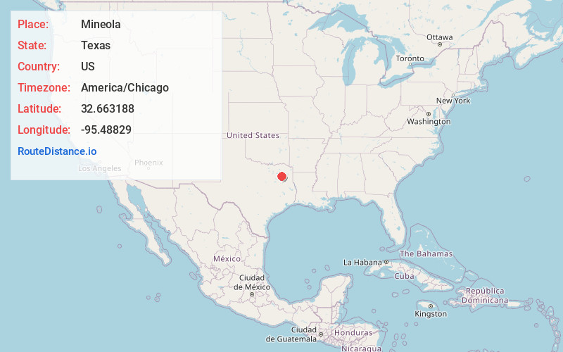
Full AddressMineola, TX 75773
-
Coordinates32.6631884, -95.4882896
-
LocationMineola , Texas , US
-
TimezoneAmerica/Chicago
-
Current Local Time10:46:25 AM America/ChicagoThursday, June 12, 2025
-
Website
-
Page Views0
About Mineola
Mineola is a city in the U.S. state of Texas in Wood County. It lies 26 miles north of Tyler. Its population was 4,823 at the 2020 census.
The town was incorporated as the railroads arrived in 1873.


Nearby Places
Found 10 places within 50 miles

Lindale
11.2 mi
18.0 km
Lindale, TX
Get directions

Tyler
24.2 mi
38.9 km
Tyler, TX
Get directions

Gladewater
32.9 mi
52.9 km
Gladewater, TX 75647
Get directions

Sulphur Springs
33.5 mi
53.9 km
Sulphur Springs, TX 75482
Get directions

Whitehouse
33.8 mi
54.4 km
Whitehouse, TX 75791
Get directions

White Oak
37.7 mi
60.7 km
White Oak, TX
Get directions

Athens
38.2 mi
61.5 km
Athens, TX
Get directions

Kilgore
40.5 mi
65.2 km
Kilgore, TX 75662
Get directions

Gun Barrel City
45.0 mi
72.4 km
Gun Barrel City, TX
Get directions

Longview
45.0 mi
72.4 km
Longview, TX
Get directions
Location Links
Local Weather
Weather Information
Coming soon!
Location Map
Static map view of Mineola, Texas
Browse Places by Distance
Places within specific distances from Mineola
Short Distances
Long Distances
Click any distance to see all places within that range from Mineola. Distances shown in miles (1 mile ≈ 1.61 kilometers).