Distance to Minnehaha, Washington

Calculating Your Route
Just a moment while we process your request...
Location Information
-
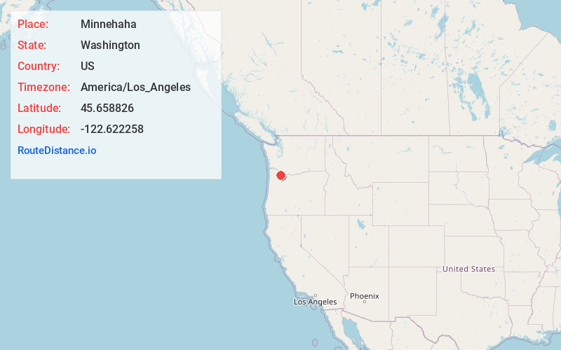
Full AddressMinnehaha, WA 98661
-
Coordinates45.6588264, -122.6222577
-
LocationMinnehaha , Washington , US
-
TimezoneAmerica/Los_Angeles
-
Current Local Time10:50:45 PM America/Los_AngelesTuesday, June 17, 2025
-
Page Views0
About Minnehaha
Minnehaha is a census-designated place in Clark County, Washington, United States. The population was 11,871 at the 2020 census.

Nearby Places
Found 10 places within 50 miles

Five Corners
2.6 mi
4.2 km
Five Corners, WA
Get directions

Vancouver
3.3 mi
5.3 km
Vancouver, WA
Get directions

Salmon Creek
3.8 mi
6.1 km
Salmon Creek, WA
Get directions

Orchards
5.2 mi
8.4 km
Orchards, WA
Get directions

Battle Ground
9.4 mi
15.1 km
Battle Ground, WA
Get directions

Portland
10.3 mi
16.6 km
Portland, OR
Get directions

Ridgefield
11.3 mi
18.2 km
Ridgefield, WA 98642
Get directions

Camas
11.8 mi
19.0 km
Camas, WA
Get directions

Gresham
14.0 mi
22.5 km
Gresham, OR
Get directions

Troutdale
14.0 mi
22.5 km
Troutdale, OR 97060
Get directions
Location Links
Local Weather
Weather Information
Coming soon!
Location Map
Static map view of Minnehaha, Washington
Browse Places by Distance
Places within specific distances from Minnehaha
Short Distances
Long Distances
Click any distance to see all places within that range from Minnehaha. Distances shown in miles (1 mile ≈ 1.61 kilometers).