Distance to Minnith, Missouri

Calculating Your Route
Just a moment while we process your request...
Location Information
-
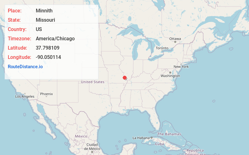
Full AddressMinnith, Beauvais Township, MO 63673
-
Coordinates37.7981094, -90.0501139
-
LocationBeauvais Township , Missouri , US
-
TimezoneAmerica/Chicago
-
Current Local Time3:38:51 PM America/ChicagoWednesday, June 4, 2025
-
Page Views0
About Minnith
Minnith is an unincorporated community located in the southern part of Beauvais Township in Sainte Genevieve County, Missouri, United States. The town lies approximately 11 miles south of Ste. Genevieve. It is on the banks of Saline Creek on Missouri Route N.
Nearby Places
Found 10 places within 50 miles

River Aux Vases
6.2 mi
10.0 km
River Aux Vases, Beauvais Township, MO 63670
Get directions

St Mary
7.8 mi
12.6 km
St Mary, MO 63673
Get directions
Silver Lake
8.6 mi
13.8 km
Silver Lake, MO 63775
Get directions
Copper Mine
9.0 mi
14.5 km
Copper Mine, Ste. Genevieve Township, MO 63670
Get directions
Lithium
9.3 mi
15.0 km
Lithium, MO 63775
Get directions
New Bourbon
10.6 mi
17.1 km
New Bourbon, Ste. Genevieve Township, MO 63670
Get directions
Weingarten
10.9 mi
17.5 km
Weingarten, MO 63670
Get directions

Kaskaskia
11.3 mi
18.2 km
Kaskaskia, IL 62233
Get directions

Perryville
11.5 mi
18.5 km
Perryville, MO 63775
Get directions

Ste. Genevieve
12.5 mi
20.1 km
Ste. Genevieve, MO 63670
Get directions
Location Links
Local Weather
Weather Information
Coming soon!
Location Map
Static map view of Minnith, Missouri
Browse Places by Distance
Places within specific distances from Minnith
Short Distances
Long Distances
Click any distance to see all places within that range from Minnith. Distances shown in miles (1 mile ≈ 1.61 kilometers).