Distance to Mint Spring, Virginia

Calculating Your Route
Just a moment while we process your request...
Location Information
-
Full AddressMint Spring, VA 24401
-
Coordinates38.0745774, -79.1008624
-
LocationMint Spring , Virginia , US
-
TimezoneAmerica/New_York
-
Current Local Time12:06:20 PM America/New_YorkMonday, June 23, 2025
-
Page Views0
About Mint Spring
Mint Spring is an unincorporated community in Augusta County, Virginia, United States. Mint Spring is located 6.1 miles south-southwest of Staunton on U.S. Route 11 and has a post office with ZIP code 24463.
Chapel Hill was listed on the National Register of Historic Places in 1978.
Nearby Places
Found 10 places within 50 miles

Jolivue
3.1 mi
5.0 km
Jolivue, VA 24401
Get directions

Stuarts Draft
4.8 mi
7.7 km
Stuarts Draft, VA
Get directions

Snyder
5.2 mi
8.4 km
Snyder, VA 24401
Get directions

Staunton
5.4 mi
8.7 km
Staunton, VA 24401
Get directions

Greenville
5.8 mi
9.3 km
Greenville, VA
Get directions

Middlebrook
6.4 mi
10.3 km
Middlebrook, VA
Get directions

Fishersville
7.4 mi
11.9 km
Fishersville, VA
Get directions
Lipscomb
7.7 mi
12.4 km
Lipscomb, Lyndhurst, VA 24477
Get directions

Swoope
8.1 mi
13.0 km
Swoope, VA 24479
Get directions

Lyndhurst
9.0 mi
14.5 km
Lyndhurst, VA
Get directions
Location Links
Local Weather
Weather Information
Coming soon!
Location Map
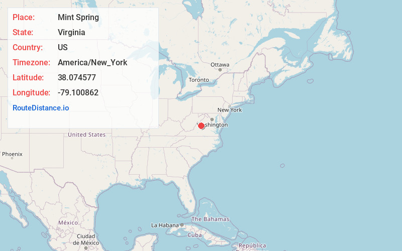
Static map view of Mint Spring, Virginia
Browse Places by Distance
Places within specific distances from Mint Spring
Short Distances
Long Distances
Click any distance to see all places within that range from Mint Spring. Distances shown in miles (1 mile ≈ 1.61 kilometers).