Distance to Miracle Hot Springs, California

Calculating Your Route
Just a moment while we process your request...
Location Information
-
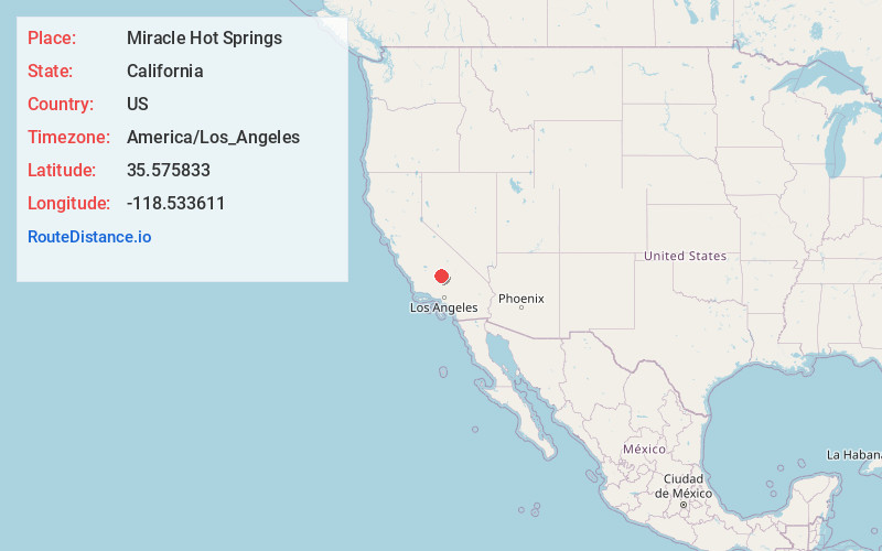
Full AddressMiracle Hot Springs, CA 93518
-
Coordinates35.575833, -118.533611
-
LocationMiracle Hot Springs , California , US
-
TimezoneAmerica/Los_Angeles
-
Current Local Time11:31:29 PM America/Los_AngelesSunday, June 1, 2025
-
Page Views0
About Miracle Hot Springs
Miracle Hot Springs is an unincorporated community in the Kern River Valley, in Kern County, California. It is located along the Kern River in the Sequoia National Forest 10 miles west of Lake Isabella, California, at an elevation of 2,382 feet.


Nearby Places
Found 10 places within 50 miles

Bodfish
2.5 mi
4.0 km
Bodfish, CA 93205
Get directions

Havilah
4.1 mi
6.6 km
Havilah, CA 93518
Get directions

Lake Isabella
4.5 mi
7.2 km
Lake Isabella, CA
Get directions

Pioneer Point
5.9 mi
9.5 km
Pioneer Point, Lake Isabella, CA 93240
Get directions

Squirrel Mountain Valley
7.7 mi
12.4 km
Squirrel Mountain Valley, CA 93240
Get directions

Mountain Mesa
8.4 mi
13.5 km
Mountain Mesa, CA 93240
Get directions

Burton Mill
8.9 mi
14.3 km
Burton Mill, CA 93205
Get directions

Shirley Meadows
9.4 mi
15.1 km
Shirley Meadows, CA 93285
Get directions

Wofford Heights
10.0 mi
16.1 km
Wofford Heights, CA 93285
Get directions
Moreland Mill
11.1 mi
17.9 km
Moreland Mill, CA 93283
Get directions
Location Links
Local Weather
Weather Information
Coming soon!
Location Map
Static map view of Miracle Hot Springs, California
Browse Places by Distance
Places within specific distances from Miracle Hot Springs
Short Distances
Long Distances
Click any distance to see all places within that range from Miracle Hot Springs. Distances shown in miles (1 mile ≈ 1.61 kilometers).