Distance to Miramar, Florida

Calculating Your Route
Just a moment while we process your request...
Location Information
-
Full AddressMiramar, FL
-
Coordinates25.9860762, -80.3035602
-
LocationMiramar , Florida , US
-
TimezoneAmerica/New_York
-
Current Local Time5:32:15 AM America/New_YorkWednesday, June 18, 2025
-
Website
-
Page Views0
About Miramar
Miramar is a city in southern Broward County, Florida, United States. It is a suburb of the Miami metropolitan area. As of the 2020 census, the population was 134,721, making it the fourth-largest city in Broward County, the sixth-largest city in the Miami metro area, and the 14th-largest city in Florida.


Nearby Places
Found 6 places within 50 miles

Pembroke Pines
1.6 mi
2.6 km
Pembroke Pines, FL
Get directions

Hollywood
9.1 mi
14.6 km
Hollywood, FL
Get directions

Hialeah
11.1 mi
17.9 km
Hialeah, FL
Get directions

Fort Lauderdale
14.0 mi
22.5 km
Fort Lauderdale, FL
Get directions

Miami
17.0 mi
27.4 km
Miami, FL
Get directions

Coral Springs
19.8 mi
31.9 km
Coral Springs, FL
Get directions
Location Links
Local Weather
Weather Information
Coming soon!
Location Map
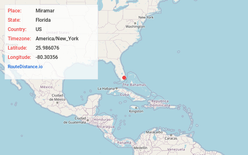
Static map view of Miramar, Florida
Browse Places by Distance
Places within specific distances from Miramar
Short Distances
Long Distances
Click any distance to see all places within that range from Miramar. Distances shown in miles (1 mile ≈ 1.61 kilometers).