Distance to Mistletoe, Kentucky

Calculating Your Route
Just a moment while we process your request...
Location Information
-
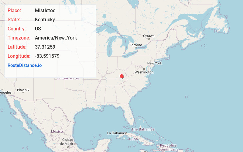
Full AddressMistletoe, KY 40972
-
Coordinates37.3125902, -83.5915791
-
LocationMistletoe , Kentucky , US
-
TimezoneAmerica/New_York
-
Current Local Time5:53:40 AM America/New_YorkSunday, June 29, 2025
-
Page Views0
About Mistletoe
Mistletoe is an unincorporated community located in Owsley County, Kentucky, United States. Its post office closed in January 2004. The community was named for the mistletoe native to the area.
Nearby Places
Found 10 places within 50 miles

Lucky Fork
4.0 mi
6.4 km
Lucky Fork, KY 41721
Get directions
Teges
4.4 mi
7.1 km
Teges, KY 40972
Get directions

Oneida
4.5 mi
7.2 km
Oneida, KY 40972
Get directions
Ammie
6.4 mi
10.3 km
Ammie, KY 40962
Get directions
Buckhorn
6.8 mi
10.9 km
Buckhorn, KY 41721
Get directions
Alger
7.7 mi
12.4 km
Alger, KY 40962
Get directions
Eriline
8.6 mi
13.8 km
Eriline, KY 40972
Get directions
Island City
10.4 mi
16.7 km
Island City, KY 40983
Get directions
Sextons Creek
10.6 mi
17.1 km
Sextons Creek, KY 40983
Get directions
Bear Branch
10.6 mi
17.1 km
Bear Branch, KY 41714
Get directions
Location Links
Local Weather
Weather Information
Coming soon!
Location Map
Static map view of Mistletoe, Kentucky
Browse Places by Distance
Places within specific distances from Mistletoe
Short Distances
Long Distances
Click any distance to see all places within that range from Mistletoe. Distances shown in miles (1 mile ≈ 1.61 kilometers).