Distance to Mitchell County, Kansas

Calculating Your Route
Just a moment while we process your request...
Location Information
-
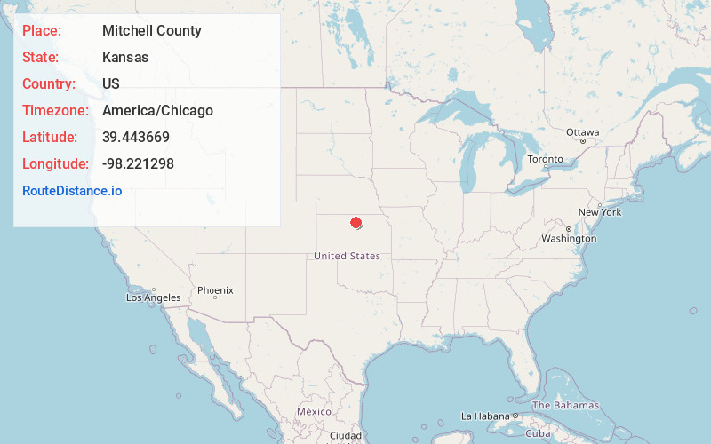
Full AddressMitchell County, KS
-
Coordinates39.443669, -98.2212979
-
LocationKansas , US
-
TimezoneAmerica/Chicago
-
Current Local Time2:45:02 PM America/ChicagoSunday, May 25, 2025
-
Page Views0
About Mitchell County
Mitchell County is a county located in the U.S. state of Kansas. Its county seat and largest city is Beloit. As of the 2020 census, the county population was 5,796. The county was named for William Mitchell.

Nearby Places
Found 10 places within 50 miles

Solomon Rapids
2.6 mi
4.2 km
Solomon Rapids, Turkey Creek Township, KS 67420
Get directions

Glen Elder
6.0 mi
9.7 km
Glen Elder, KS 67446
Get directions

Beloit
6.2 mi
10.0 km
Beloit, KS 67420
Get directions

Cawker City
12.2 mi
19.6 km
Cawker City, KS 67430
Get directions
Asherville
13.3 mi
21.4 km
Asherville, KS 67420
Get directions
Victor
13.9 mi
22.4 km
Victor, Blue Hill Township, KS 67420
Get directions
Tipton
15.0 mi
24.1 km
Tipton, KS 67485
Get directions
Scottsville
15.9 mi
25.6 km
Scottsville, KS 67420
Get directions
Simpson
16.0 mi
25.7 km
Simpson, KS
Get directions
Jewell
16.1 mi
25.9 km
Jewell, KS 66949
Get directions
Location Links
Local Weather
Weather Information
Coming soon!
Location Map
Static map view of Mitchell County, Kansas
Browse Places by Distance
Places within specific distances from Mitchell County
Short Distances
Long Distances
Click any distance to see all places within that range from Mitchell County. Distances shown in miles (1 mile ≈ 1.61 kilometers).