Distance to Mitchelltown, Alabama

Calculating Your Route
Just a moment while we process your request...
Location Information
-
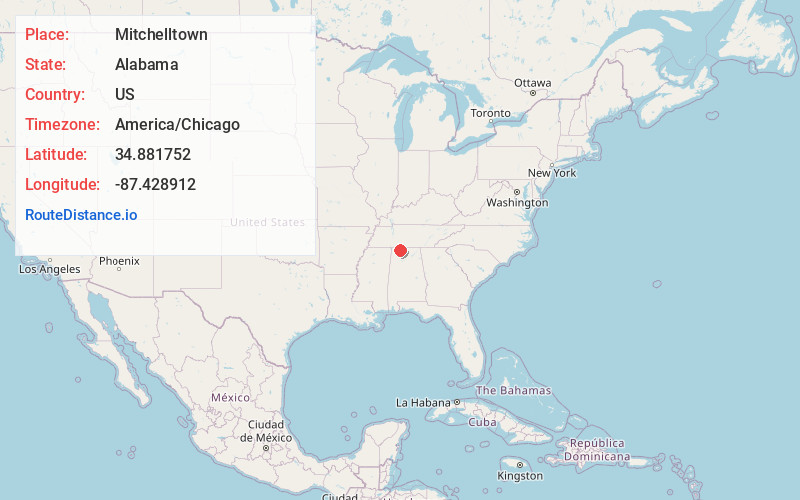
Full AddressMitchelltown, AL 35645
-
Coordinates34.8817521, -87.4289115
-
LocationAlabama , US
-
TimezoneAmerica/Chicago
-
Current Local Time5:29:26 PM America/ChicagoFriday, June 20, 2025
-
Page Views0
Nearby Places
Found 10 places within 50 miles

Big Oak
2.5 mi
4.0 km
Big Oak, AL 35645
Get directions
Kingtown
3.1 mi
5.0 km
Kingtown, AL 35652
Get directions
Elgin
3.1 mi
5.0 km
Elgin, AL 35652
Get directions
Houstontown
3.8 mi
6.1 km
Houstontown, AL 35645
Get directions
Aqua Vista
4.8 mi
7.7 km
Aqua Vista, AL 35645
Get directions
Lock Three
4.9 mi
7.9 km
Lock Three, AL 35652
Get directions
Thorntontown
5.1 mi
8.2 km
Thorntontown, AL 35652
Get directions
Toonersville
5.3 mi
8.5 km
Toonersville, AL 35652
Get directions
Arkdell
5.4 mi
8.7 km
Arkdell, AL 35648
Get directions
Whitehead
5.8 mi
9.3 km
Whitehead, AL 35652
Get directions
Location Links
Local Weather
Weather Information
Coming soon!
Location Map
Static map view of Mitchelltown, Alabama
Browse Places by Distance
Places within specific distances from Mitchelltown
Short Distances
Long Distances
Click any distance to see all places within that range from Mitchelltown. Distances shown in miles (1 mile ≈ 1.61 kilometers).