Distance to Mittineague, Massachusetts

Calculating Your Route
Just a moment while we process your request...
Location Information
-
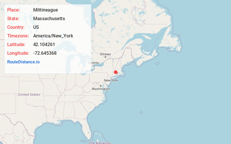
Full AddressMittineague, West Springfield, MA 01089
-
Coordinates42.1042606, -72.6453681
-
LocationWest Springfield , Massachusetts , US
-
TimezoneAmerica/New_York
-
Current Local Time4:47:21 AM America/New_YorkThursday, June 5, 2025
-
Page Views0
About Mittineague
Mittineague is a neighborhood along the Westfield River in Southern West Springfield, Massachusetts. Two smaller parts of the neighborhood are Mittineague Falls, and Mittineague Park.
Nearby Places
Found 10 places within 50 miles

North Agawam
0.7 mi
1.1 km
North Agawam, Agawam, MA 01001
Get directions

West Springfield
1.3 mi
2.1 km
West Springfield, MA
Get directions
Cayenne
1.9 mi
3.1 km
Cayenne, West Springfield, MA 01089
Get directions

Agawam
2.9 mi
4.7 km
Agawam, MA
Get directions

Springfield
2.9 mi
4.7 km
Springfield, MA
Get directions

Chicopee
3.6 mi
5.8 km
Chicopee, MA
Get directions

Longmeadow
4.9 mi
7.9 km
Longmeadow, MA
Get directions

Westfield
5.5 mi
8.9 km
Westfield, MA 01085
Get directions

Southwick
7.3 mi
11.7 km
Southwick, MA
Get directions

East Longmeadow
7.3 mi
11.7 km
East Longmeadow, MA 01028
Get directions
Location Links
Local Weather
Weather Information
Coming soon!
Location Map
Static map view of Mittineague, Massachusetts
Browse Places by Distance
Places within specific distances from Mittineague
Short Distances
Long Distances
Click any distance to see all places within that range from Mittineague. Distances shown in miles (1 mile ≈ 1.61 kilometers).