Distance to Moffit, North Dakota

Calculating Your Route
Just a moment while we process your request...
Location Information
-
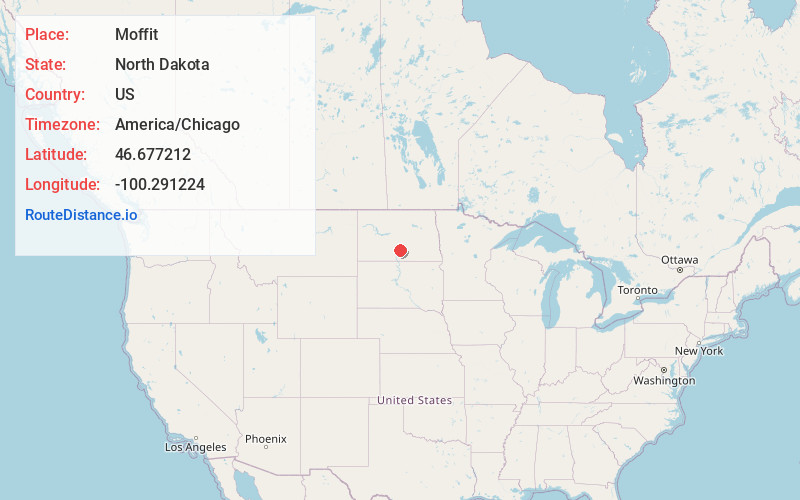
Full AddressMoffit, ND 58560
-
Coordinates46.6772118, -100.2912236
-
LocationMoffit , North Dakota , US
-
TimezoneAmerica/Chicago
-
Current Local Time11:24:10 AM America/ChicagoThursday, June 19, 2025
-
Page Views0
About Moffit
Moffit is an unincorporated rural hamlet in Burleigh County, North Dakota, United States. It lies along US 83, 10 miles south of Sterling. The population in 2017 was estimated to be less than 30.
The post office at Moffit has been in operation since 1906. The community's name honors a family of settlers.


Nearby Places
Found 10 places within 50 miles

Brittin
6.0 mi
9.7 km
Brittin, ND 58560
Get directions
McKenzie
11.7 mi
18.8 km
McKenzie, ND 58572
Get directions
Braddock
12.3 mi
19.8 km
Braddock, ND 58524
Get directions

Hazelton
13.3 mi
21.4 km
Hazelton, ND 58544
Get directions
Driscoll
13.6 mi
21.9 km
Driscoll, ND 58532
Get directions
Menoken
15.0 mi
24.1 km
Menoken, ND 58558
Get directions
Huff
17.5 mi
28.2 km
Huff, ND 58554
Get directions
Apple Valley
17.6 mi
28.3 km
Apple Valley, ND 58558
Get directions
Kintyre
18.5 mi
29.8 km
Kintyre, ND 58549
Get directions
Lincoln
20.3 mi
32.7 km
Lincoln, ND 58504
Get directions
Location Links
Local Weather
Weather Information
Coming soon!
Location Map
Static map view of Moffit, North Dakota
Browse Places by Distance
Places within specific distances from Moffit
Short Distances
Long Distances
Click any distance to see all places within that range from Moffit. Distances shown in miles (1 mile ≈ 1.61 kilometers).