Distance to Mokelumne City, California

Calculating Your Route
Just a moment while we process your request...
Location Information
-
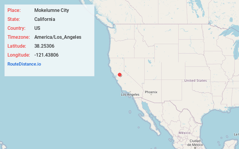
Full AddressMokelumne City, CA 95632
-
Coordinates38.25306, -121.43806
-
LocationMokelumne City , California , US
-
TimezoneAmerica/Los_Angeles
-
Current Local Time10:00:37 PM America/Los_AngelesTuesday, June 3, 2025
-
Page Views0
About Mokelumne City
Mokelumne City is a ghost town in San Joaquin County, California, United States. Mokelumne, established in 1850, was the second largest town in San Joaquin County until it was destroyed by the floods of 1862.
Nearby Places
Found 10 places within 50 miles

Thornton
2.0 mi
3.2 km
Thornton, CA
Get directions

Walnut Grove
4.1 mi
6.6 km
Walnut Grove, CA
Get directions

Point Pleasant
5.6 mi
9.0 km
Point Pleasant, CA 95757
Get directions
Bruceville
5.8 mi
9.3 km
Bruceville, CA 95757
Get directions
Need
7.0 mi
11.3 km
Need, CA 95632
Get directions

Twin Cities
7.4 mi
11.9 km
Twin Cities, Galt, CA 95632
Get directions

Galt
7.5 mi
12.1 km
Galt, CA 95632
Get directions

Franklin
8.5 mi
13.7 km
Franklin, CA 95757
Get directions
Paintersville
8.8 mi
14.2 km
Paintersville, CA 95615
Get directions

Courtland
9.0 mi
14.5 km
Courtland, CA 95615
Get directions
Location Links
Local Weather
Weather Information
Coming soon!
Location Map
Static map view of Mokelumne City, California
Browse Places by Distance
Places within specific distances from Mokelumne City
Short Distances
Long Distances
Click any distance to see all places within that range from Mokelumne City. Distances shown in miles (1 mile ≈ 1.61 kilometers).