Distance to Monett, Missouri

Calculating Your Route
Just a moment while we process your request...
Location Information
-
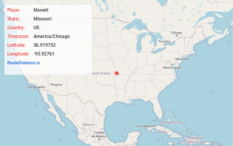
Full AddressMonett, MO
-
Coordinates36.9197522, -93.9276103
-
LocationMonett , Missouri , US
-
TimezoneAmerica/Chicago
-
Current Local Time4:08:49 PM America/ChicagoWednesday, June 18, 2025
-
Page Views0
About Monett
Monett is the most-populous city in Barry and Lawrence counties in the U.S. state of Missouri. The city is located in the Ozarks, just south of Interstate 44 between Joplin and Springfield. According to the 2020 census, the population of the town was estimated to be 9,576 individuals.


Nearby Places
Found 10 places within 50 miles

Neosho
24.6 mi
39.6 km
Neosho, MO 64850
Get directions

Carthage
27.6 mi
44.4 km
Carthage, MO 64836
Get directions

Republic
28.3 mi
45.5 km
Republic, MO
Get directions

Webb City
33.4 mi
53.8 km
Webb City, MO
Get directions

Joplin
34.3 mi
55.2 km
Joplin, MO
Get directions

Bella Vista
35.4 mi
57.0 km
Bella Vista, AR
Get directions

Nixa
36.0 mi
57.9 km
Nixa, MO 65714
Get directions

Springfield
40.3 mi
64.9 km
Springfield, MO
Get directions

Ozark
40.4 mi
65.0 km
Ozark, MO
Get directions

Bentonville
40.9 mi
65.8 km
Bentonville, AR
Get directions
Location Links
Local Weather
Weather Information
Coming soon!
Location Map
Static map view of Monett, Missouri
Browse Places by Distance
Places within specific distances from Monett
Short Distances
Long Distances
Click any distance to see all places within that range from Monett. Distances shown in miles (1 mile ≈ 1.61 kilometers).