Distance to Monfort Heights, Ohio

Calculating Your Route
Just a moment while we process your request...
Location Information
-
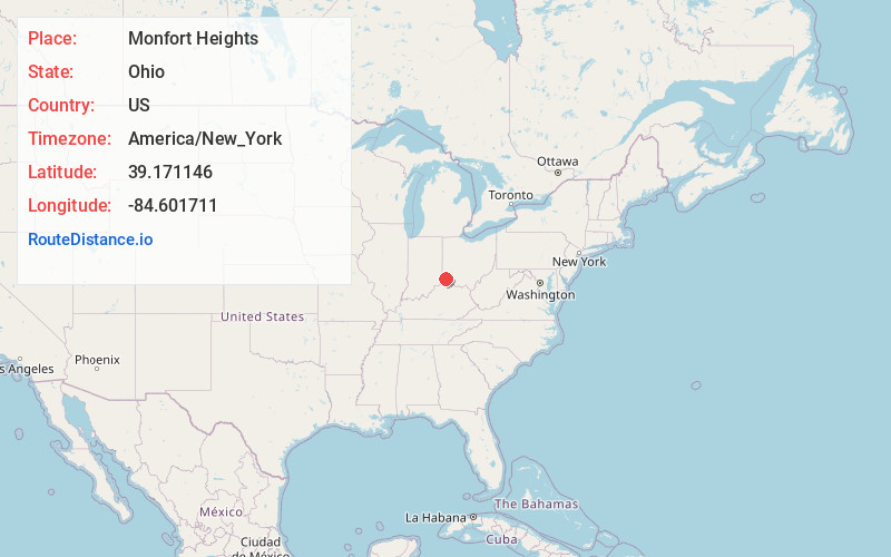
Full AddressMonfort Heights, OH
-
Coordinates39.1711464, -84.6017107
-
LocationMonfort Heights , Ohio , US
-
TimezoneAmerica/New_York
-
Current Local Time8:15:22 AM America/New_YorkThursday, July 3, 2025
-
Page Views0
About Monfort Heights
Monfort Heights is a census-designated place in Green Township, Hamilton County, Ohio, United States, part of the Cincinnati–Northern Kentucky metropolitan area. The population of Monfort Heights was 12,070 at the 2020 census.

Nearby Places
Found 10 places within 50 miles

Bridgetown North
1.8 mi
2.9 km
Bridgetown North, OH
Get directions

Dent
2.8 mi
4.5 km
Dent, OH
Get directions

White Oak
2.9 mi
4.7 km
White Oak, OH
Get directions

Finneytown
5.6 mi
9.0 km
Finneytown, OH
Get directions

Cincinnati
6.7 mi
10.8 km
Cincinnati, OH
Get directions

Covington
7.8 mi
12.6 km
Covington, KY
Get directions

Newport
7.9 mi
12.7 km
Newport, KY
Get directions

Norwood
7.9 mi
12.7 km
Norwood, OH
Get directions

Forest Park
9.8 mi
15.8 km
Forest Park, OH
Get directions

Fort Thomas
10.6 mi
17.1 km
Fort Thomas, KY
Get directions
Location Links
Local Weather
Weather Information
Coming soon!
Location Map
Static map view of Monfort Heights, Ohio
Browse Places by Distance
Places within specific distances from Monfort Heights
Short Distances
Long Distances
Click any distance to see all places within that range from Monfort Heights. Distances shown in miles (1 mile ≈ 1.61 kilometers).