Distance to Mongaup Valley, New York

Calculating Your Route
Just a moment while we process your request...
Location Information
-
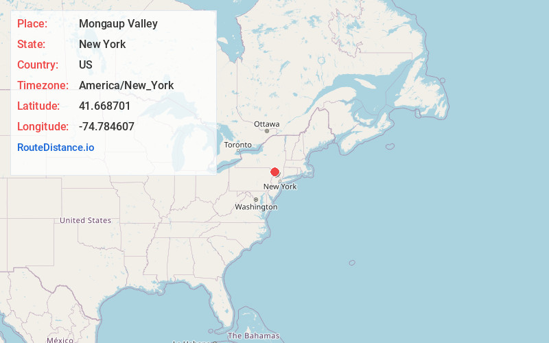
Full AddressMongaup Valley, NY
-
Coordinates41.6687008, -74.7846074
-
LocationMongaup Valley , New York , US
-
TimezoneAmerica/New_York
-
Current Local Time10:53:22 PM America/New_YorkWednesday, June 18, 2025
-
Page Views1
About Mongaup Valley
Mongaup Valley is a hamlet in Sullivan County, New York, United States. The community is located along New York State Route 17B 5 miles west of Monticello, and along the Mongaup River. Mongaup Valley has a post office with ZIP code 12762, which opened on June 22, 1848.


Nearby Places
Found 10 places within 50 miles

Smallwood
1.9 mi
3.1 km
Smallwood, NY
Get directions

Monticello
5.0 mi
8.0 km
Monticello, NY 12701
Get directions

Thompson
6.3 mi
10.1 km
Thompson, NY
Get directions

Kiamesha Lake
6.5 mi
10.5 km
Kiamesha Lake, NY
Get directions

Forestburgh
7.3 mi
11.7 km
Forestburgh, NY 12777
Get directions

Hurleyville
7.3 mi
11.7 km
Hurleyville, NY 12747
Get directions

South Fallsburg
8.1 mi
13.0 km
South Fallsburg, NY
Get directions

Loch Sheldrake
9.4 mi
15.1 km
Loch Sheldrake, NY
Get directions

Rock Hill
10.1 mi
16.3 km
Rock Hill, NY
Get directions

Fallsburg
10.4 mi
16.7 km
Fallsburg, NY
Get directions
Location Links
Local Weather
Weather Information
Coming soon!
Location Map
Static map view of Mongaup Valley, New York
Browse Places by Distance
Places within specific distances from Mongaup Valley
Short Distances
Long Distances
Click any distance to see all places within that range from Mongaup Valley. Distances shown in miles (1 mile ≈ 1.61 kilometers).