Distance to Monida, Montana

Calculating Your Route
Just a moment while we process your request...
Location Information
-
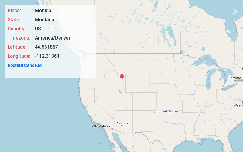
Full AddressMonida, MT 59739
-
Coordinates44.5618568, -112.31361
-
LocationMonida , Montana , US
-
TimezoneAmerica/Denver
-
Current Local Time3:39:36 PM America/DenverThursday, June 12, 2025
-
Page Views0
About Monida
Monida is an unincorporated community in Beaverhead County, Montana, United States. Monida is located on Interstate 15 at the top of Monida Pass, 14.7 miles east-southeast of Lima. The community is situated on the Continental Divide at the Idaho state line. It has a permanent population of six.

Nearby Places
Found 10 places within 50 miles

Humphrey
6.4 mi
10.3 km
Humphrey, ID 83446
Get directions
Cow Creek
14.6 mi
23.5 km
Cow Creek, Idaho
Get directions

Lima
14.6 mi
23.5 km
Lima, MT 59739
Get directions

Spencer
15.3 mi
24.6 km
Spencer, ID 83446
Get directions

Dell
21.9 mi
35.2 km
Dell, MT 59725
Get directions

Kilgore
23.5 mi
37.8 km
Kilgore, ID 83423
Get directions
Idmon
24.2 mi
38.9 km
Idmon, ID 83423
Get directions
Lakeview
24.9 mi
40.1 km
Lakeview, MT 59739
Get directions

Dubois
27.0 mi
43.5 km
Dubois, ID 83423
Get directions
Kidd
27.2 mi
43.8 km
Kidd, MT 59725
Get directions
Location Links
Local Weather
Weather Information
Coming soon!
Location Map
Static map view of Monida, Montana
Browse Places by Distance
Places within specific distances from Monida
Short Distances
Long Distances
Click any distance to see all places within that range from Monida. Distances shown in miles (1 mile ≈ 1.61 kilometers).