Distance to Monongahela, Pennsylvania

Calculating Your Route
Just a moment while we process your request...
Location Information
-
Full AddressMonongahela, PA 15063
-
Coordinates40.2031265, -79.9261603
-
LocationMonongahela , Pennsylvania , US
-
TimezoneAmerica/New_York
-
Current Local Time5:00:14 PM America/New_YorkWednesday, June 18, 2025
-
Website
-
Page Views0
About Monongahela
Monongahela, referred to locally as Mon City, is a third class city in Washington County, Pennsylvania, United States. The population was 4,149 at the 2020 census. It is part of the Pittsburgh metropolitan area, about 17 miles south of Pittsburgh proper.


Nearby Places
Found 10 places within 50 miles

Donora
4.2 mi
6.8 km
Donora, PA 15033
Get directions

Monessen
4.3 mi
6.9 km
Monessen, PA
Get directions

Charleroi
4.7 mi
7.6 km
Charleroi, PA 15022
Get directions

Jefferson Hills
6.1 mi
9.8 km
Jefferson Hills, PA
Get directions

Clairton
6.6 mi
10.6 km
Clairton, PA
Get directions
Rostraver Township
6.8 mi
10.9 km
Rostraver Township, PA
Get directions

South Park Township
7.0 mi
11.3 km
South Park Township, PA
Get directions

Glassport
8.6 mi
13.8 km
Glassport, PA 15045
Get directions

Pleasant Hills
9.3 mi
15.0 km
Pleasant Hills, PA
Get directions

California
9.7 mi
15.6 km
California, PA
Get directions
Location Links
Local Weather
Weather Information
Coming soon!
Location Map
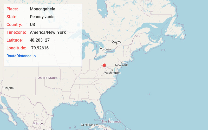
Static map view of Monongahela, Pennsylvania
Browse Places by Distance
Places within specific distances from Monongahela
Short Distances
Long Distances
Click any distance to see all places within that range from Monongahela. Distances shown in miles (1 mile ≈ 1.61 kilometers).