Distance to Monroe, Oregon

Calculating Your Route
Just a moment while we process your request...
Location Information
-
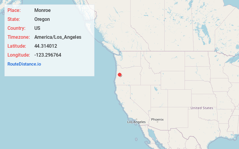
Full AddressMonroe, OR 97456
-
Coordinates44.3140116, -123.2967637
-
LocationMonroe , Oregon , US
-
TimezoneAmerica/Los_Angeles
-
Current Local Time3:21:12 PM America/Los_AngelesFriday, June 20, 2025
-
Page Views0
About Monroe
Monroe is a city in Benton County, Oregon, United States. The population was 763 as of the 2023 census population estimates. It is part of the Corvallis, Oregon Metropolitan Statistical Area. Monroe is located midway between Eugene and Corvallis along Highway 99W.


Nearby Places
Found 10 places within 50 miles

Harrisburg
6.8 mi
10.9 km
Harrisburg, OR 97446
Get directions

Junction City
7.9 mi
12.7 km
Junction City, OR 97448
Get directions

Halsey
10.4 mi
16.7 km
Halsey, OR 97348
Get directions

Philomath
16.0 mi
25.7 km
Philomath, OR 97370
Get directions

Brownsville
16.4 mi
26.4 km
Brownsville, OR 97327
Get directions

Coburg
16.7 mi
26.9 km
Coburg, OR 97408
Get directions

Corvallis
17.4 mi
28.0 km
Corvallis, OR
Get directions

River Rd
17.8 mi
28.6 km
River Rd, OR 97404
Get directions

Tangent
18.3 mi
29.5 km
Tangent, OR 97389
Get directions

Veneta
18.5 mi
29.8 km
Veneta, OR 97487
Get directions
Location Links
Local Weather
Weather Information
Coming soon!
Location Map
Static map view of Monroe, Oregon
Browse Places by Distance
Places within specific distances from Monroe
Short Distances
Long Distances
Click any distance to see all places within that range from Monroe. Distances shown in miles (1 mile ≈ 1.61 kilometers).