Distance to Monroetown, North Carolina

Calculating Your Route
Just a moment while we process your request...
Location Information
-
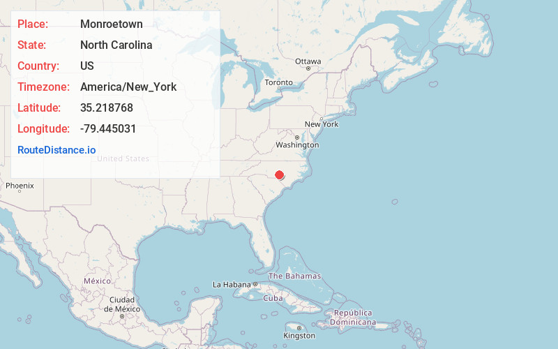
Full AddressMonroetown, NC 28374
-
Coordinates35.2187679, -79.4450307
-
LocationNorth Carolina , US
-
TimezoneAmerica/New_York
-
Current Local Time6:59:27 PM America/New_YorkTuesday, June 17, 2025
-
Page Views0
Nearby Places
Found 10 places within 50 miles

Pinehurst
2.1 mi
3.4 km
Pinehurst, NC
Get directions

Taylortown
2.4 mi
3.9 km
Taylortown, NC
Get directions

Southern Pines
4.3 mi
6.9 km
Southern Pines, NC
Get directions
Midtown
4.6 mi
7.4 km
Midtown, Southern Pines, NC 28387
Get directions
Manly
4.7 mi
7.6 km
Manly, NC 28387
Get directions

Niagara
5.1 mi
8.2 km
Niagara, NC 28387
Get directions
Thomas Crossroads
5.8 mi
9.3 km
Thomas Crossroads, NC 27376
Get directions

Aberdeen
6.1 mi
9.8 km
Aberdeen, NC
Get directions
Roseland
6.8 mi
10.9 km
Roseland, NC 28315
Get directions
Pleasantville
7.1 mi
11.4 km
Pleasantville, NC 28327
Get directions
Location Links
Local Weather
Weather Information
Coming soon!
Location Map
Static map view of Monroetown, North Carolina
Browse Places by Distance
Places within specific distances from Monroetown
Short Distances
Long Distances
Click any distance to see all places within that range from Monroetown. Distances shown in miles (1 mile ≈ 1.61 kilometers).