Distance to Monroeville, Indiana

Calculating Your Route
Just a moment while we process your request...
Location Information
-
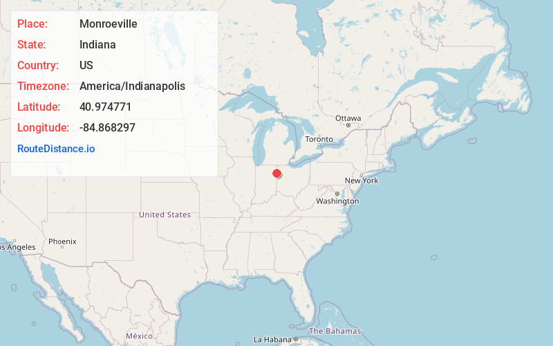
Full AddressMonroeville, IN 46773
-
Coordinates40.9747705, -84.8682972
-
LocationMonroeville , Indiana , US
-
TimezoneAmerica/Indianapolis
-
Page Views0
About Monroeville
Monroeville is a town in Monroe Township, Allen County, Indiana, United States. The population was 1,294 as of the 2020 census.


Nearby Places
Found 10 places within 50 miles

New Haven
10.1 mi
16.3 km
New Haven, IN
Get directions

Payne
10.2 mi
16.4 km
Payne, OH 45880
Get directions

Woodburn
10.4 mi
16.7 km
Woodburn, IN 46797
Get directions

Decatur
10.5 mi
16.9 km
Decatur, IN 46733
Get directions

Harlan
15.5 mi
24.9 km
Harlan, IN
Get directions

Fort Wayne
15.7 mi
25.3 km
Fort Wayne, IN
Get directions

Antwerp
15.8 mi
25.4 km
Antwerp, OH 45813
Get directions

Van Wert
16.5 mi
26.6 km
Van Wert, OH 45891
Get directions

Ossian
16.9 mi
27.2 km
Ossian, IN 46777
Get directions

Grabill
17.1 mi
27.5 km
Grabill, IN 46741
Get directions
Location Links
Local Weather
Weather Information
Coming soon!
Location Map
Static map view of Monroeville, Indiana
Browse Places by Distance
Places within specific distances from Monroeville
Short Distances
Long Distances
Click any distance to see all places within that range from Monroeville. Distances shown in miles (1 mile ≈ 1.61 kilometers).