Distance to Monsey, New York

Calculating Your Route
Just a moment while we process your request...
Location Information
-
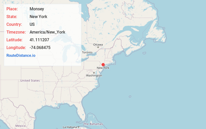
Full AddressMonsey, NY
-
Coordinates41.1112069, -74.0684751
-
LocationMonsey , New York , US
-
TimezoneAmerica/New_York
-
Current Local Time8:00:48 AM America/New_YorkSaturday, June 21, 2025
-
Website
-
Page Views1
About Monsey
Monsey is a hamlet and census-designated place in the town of Ramapo, Rockland County, New York, United States, north of Airmont, east of Viola, south of New Hempstead, and west of Spring Valley. The village of Kaser is surrounded by the hamlet of Monsey. The 2020 census listed the population at 26,954.


Nearby Places
Found 10 places within 50 miles

Spring Valley
1.3 mi
2.1 km
Spring Valley, NY
Get directions

Chestnut Ridge
2.0 mi
3.2 km
Chestnut Ridge, NY
Get directions

Airmont
2.6 mi
4.2 km
Airmont, NY
Get directions

Suffern Park
2.8 mi
4.5 km
Suffern Park, Ramapo, NY 10901
Get directions

New Square
2.9 mi
4.7 km
New Square, NY
Get directions

New Hempstead
2.9 mi
4.7 km
New Hempstead, NY
Get directions
Oakbrook
3.0 mi
4.8 km
Oakbrook, New City, NY 10954
Get directions

Montebello
3.1 mi
5.0 km
Montebello, NY 10901
Get directions

Wesley Hills
3.3 mi
5.3 km
Wesley Hills, NY
Get directions
Summit Park
3.4 mi
5.5 km
Summit Park, New Hempstead, NY 10977
Get directions
Location Links
Local Weather
Weather Information
Coming soon!
Location Map
Static map view of Monsey, New York
Browse Places by Distance
Places within specific distances from Monsey
Short Distances
Long Distances
Click any distance to see all places within that range from Monsey. Distances shown in miles (1 mile ≈ 1.61 kilometers).