Distance to Montalba, Texas

Calculating Your Route
Just a moment while we process your request...
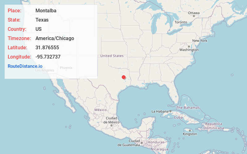
Location Information
-
Full AddressMontalba, TX 75853
-
Coordinates31.8765549, -95.7327373
-
LocationMontalba , Texas , US
-
TimezoneAmerica/Chicago
-
Current Local Time7:29:39 PM America/ChicagoThursday, June 26, 2025
-
Page Views0
About Montalba
Montalba is an unincorporated community in central Anderson County, Texas, United States. According to the Handbook of Texas, the community had a population of 809 in 2019. It is located within the Palestine, Texas micropolitan area.
Nearby Places
Found 10 places within 50 miles

Palestine
9.9 mi
15.9 km
Palestine, TX
Get directions

Neches
13.9 mi
22.4 km
Neches, TX
Get directions
Poynor
15.8 mi
25.4 km
Poynor, TX
Get directions

Frankston
18.0 mi
29.0 km
Frankston, TX 75763
Get directions

Elkhart
19.6 mi
31.5 km
Elkhart, TX 75839
Get directions

Berryville
21.2 mi
34.1 km
Berryville, TX 75763
Get directions

Oakwood
21.3 mi
34.3 km
Oakwood, TX 75855
Get directions

Cuney
21.4 mi
34.4 km
Cuney, TX
Get directions

Coffee City
22.1 mi
35.6 km
Coffee City, TX
Get directions
Moore Station
23.2 mi
37.3 km
Moore Station, TX 75770
Get directions
Location Links
Local Weather
Weather Information
Coming soon!
Location Map
Static map view of Montalba, Texas
Browse Places by Distance
Places within specific distances from Montalba
Short Distances
Long Distances
Click any distance to see all places within that range from Montalba. Distances shown in miles (1 mile ≈ 1.61 kilometers).