Distance to Montauk, New York

Calculating Your Route
Just a moment while we process your request...
Location Information
-
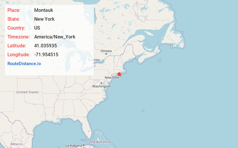
Full AddressMontauk, NY 11954
-
Coordinates41.0359353, -71.9545146
-
LocationMontauk , New York , US
-
TimezoneAmerica/New_York
-
Current Local Time11:38:37 PM America/New_YorkWednesday, July 2, 2025
-
Page Views0
About Montauk
Montauk, New York, is a village at the east end of the Long Island peninsula. It’s known for its beaches, like Ditch Plains, with its strong Atlantic surf. At the peninsula’s tip, Montauk Point State Park is home to the 1796 Montauk Point Lighthouse. A museum in the keeper’s house displays historical documents signed by George Washington. Camp Hero State Park, once a military base, has WWII bunkers and a radar tower.


Nearby Places
Found 10 places within 50 miles

Springs
10.8 mi
17.4 km
Springs, NY 11937
Get directions

East Hampton
13.0 mi
20.9 km
East Hampton, NY 11937
Get directions

Noyack
20.4 mi
32.8 km
Noyack, NY 11963
Get directions

New London
23.3 mi
37.5 km
New London, CT
Get directions

Westerly
24.4 mi
39.3 km
Westerly, RI
Get directions

Southold
24.7 mi
39.8 km
Southold, NY 11971
Get directions

Southampton
25.0 mi
40.2 km
Southampton, NY
Get directions

North Sea
25.0 mi
40.2 km
North Sea, NY 11968
Get directions

Charlestown
29.0 mi
46.7 km
Charlestown, RI
Get directions

Mattituck
30.4 mi
48.9 km
Mattituck, NY
Get directions
Location Links
Local Weather
Weather Information
Coming soon!
Location Map
Static map view of Montauk, New York
Browse Places by Distance
Places within specific distances from Montauk
Short Distances
Long Distances
Click any distance to see all places within that range from Montauk. Distances shown in miles (1 mile ≈ 1.61 kilometers).