Distance to Montchanin, Delaware

Calculating Your Route
Just a moment while we process your request...
Location Information
-
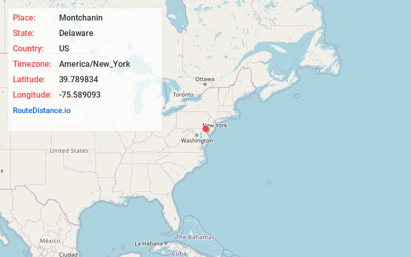
Full AddressMontchanin, DE 19807
-
Coordinates39.7898343, -75.5890929
-
LocationMontchanin , Delaware , US
-
TimezoneAmerica/New_York
-
Current Local Time5:14:45 AM America/New_YorkTuesday, June 24, 2025
-
Page Views0
About Montchanin
Montchanin is an unincorporated community in New Castle County, Delaware, United States. Montchanin is located at the intersection of Delaware Route 100 and Kirk Road to the northwest of Wilmington.
Nearby Places
Found 10 places within 50 miles

Greenville Manor
0.7 mi
1.1 km
Greenville Manor, Greenville, DE 19807
Get directions

Greenville
0.9 mi
1.4 km
Greenville, DE 19807
Get directions
Henry Clay
1.4 mi
2.3 km
Henry Clay, DE 19807
Get directions
Edenridge
1.6 mi
2.6 km
Edenridge, DE 19803
Get directions
Woodbrook
1.7 mi
2.7 km
Woodbrook, DE 19803
Get directions
Willow Run
1.8 mi
2.9 km
Willow Run, Delaware 19803
Get directions
Westover Hills
1.8 mi
2.9 km
Westover Hills, DE 19807
Get directions
Tavistock
2.0 mi
3.2 km
Tavistock, DE 19803
Get directions
McDaniel Heights
2.3 mi
3.7 km
McDaniel Heights, DE 19803
Get directions
Sedgley Farms
2.5 mi
4.0 km
Sedgley Farms, DE 19807
Get directions
Location Links
Local Weather
Weather Information
Coming soon!
Location Map
Static map view of Montchanin, Delaware
Browse Places by Distance
Places within specific distances from Montchanin
Short Distances
Long Distances
Click any distance to see all places within that range from Montchanin. Distances shown in miles (1 mile ≈ 1.61 kilometers).