Distance to Montebello, California

Calculating Your Route
Just a moment while we process your request...
Location Information
-
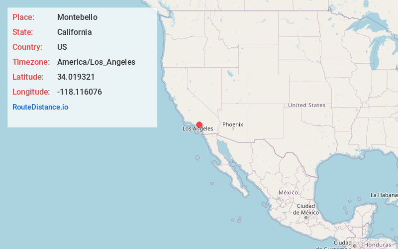
Full AddressMontebello, CA
-
Coordinates34.019321, -118.116076
-
LocationMontebello , California , US
-
TimezoneAmerica/Los_Angeles
-
Current Local Time6:56:13 AM America/Los_AngelesSaturday, June 28, 2025
-
Website
-
Page Views0
About Montebello
Montebello is a city in Los Angeles County, California, United States, located just east of East Los Angeles and southwest of San Gabriel Valley. It is an independent city 8 mi east of downtown Los Angeles.


Nearby Places
Found 10 places within 50 miles

East Los Angeles
2.9 mi
4.7 km
East Los Angeles, CA
Get directions

Alhambra
5.1 mi
8.2 km
Alhambra, CA
Get directions

Downey
5.6 mi
9.0 km
Downey, CA
Get directions

Whittier
5.7 mi
9.2 km
Whittier, CA
Get directions

El Monte
6.1 mi
9.8 km
El Monte, CA
Get directions

South Gate
7.1 mi
11.4 km
South Gate, CA 90280
Get directions

Norwalk
7.5 mi
12.1 km
Norwalk, CA 90650
Get directions

Los Angeles
7.7 mi
12.4 km
Los Angeles, CA
Get directions

Lynwood
8.2 mi
13.2 km
Lynwood, CA
Get directions

Pasadena
9.0 mi
14.5 km
Pasadena, CA
Get directions
Location Links
Local Weather
Weather Information
Coming soon!
Location Map
Static map view of Montebello, California
Browse Places by Distance
Places within specific distances from Montebello
Short Distances
Long Distances
Click any distance to see all places within that range from Montebello. Distances shown in miles (1 mile ≈ 1.61 kilometers).