Distance to and from Montezuma, North Carolina
Montezuma, NC 28657
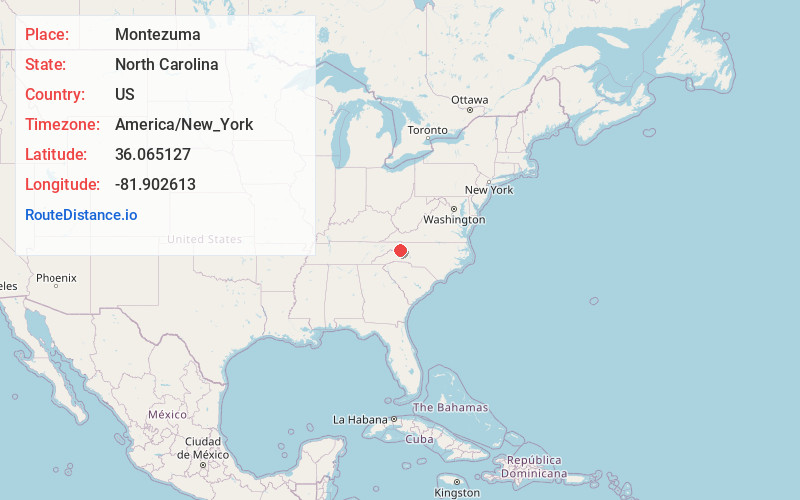
Montezuma
North Carolina
US
America/New_York
Location Information
-
Full AddressMontezuma, NC 28657
-
Coordinates36.0651269, -81.902613
-
LocationMontezuma , North Carolina , US
-
TimezoneAmerica/New_York
-
Current Local Time4:45:26 AM America/New_YorkSunday, May 4, 2025
-
Page Views0
Directions to Nearest Cities
About Montezuma
Montezuma is an unincorporated community in Avery County, North Carolina, United States. Before its founding in 1883, it had two variant names, Aaron and Bull Scrape. The community is located on Old State Highway 181 and is on the Eastern Continental Divide.
Nearby Places
Found 10 places within 50 miles

Linville
1.8 mi
2.9 km
Linville, NC
Get directions

Newland
2.1 mi
3.4 km
Newland, NC 28657
Get directions

Crossnore
3.4 mi
5.5 km
Crossnore, NC 28657
Get directions

Sugar Mountain
4.9 mi
7.9 km
Sugar Mountain, NC
Get directions

Minneapolis
5.3 mi
8.5 km
Minneapolis, NC 28657
Get directions
Frank
5.6 mi
9.0 km
Frank, NC 28657
Get directions

Seven Devils
6.9 mi
11.1 km
Seven Devils, NC 28604
Get directions

Banner Elk
7.0 mi
11.3 km
Banner Elk, NC 28604
Get directions

Elk Park
7.6 mi
12.2 km
Elk Park, NC 28622
Get directions

Beech Mountain
10.1 mi
16.3 km
Beech Mountain, NC
Get directions
Linville
1.8 mi
2.9 km
Linville, NC
Newland
2.1 mi
3.4 km
Newland, NC 28657
Crossnore
3.4 mi
5.5 km
Crossnore, NC 28657
Sugar Mountain
4.9 mi
7.9 km
Sugar Mountain, NC
Minneapolis
5.3 mi
8.5 km
Minneapolis, NC 28657
Frank
5.6 mi
9.0 km
Frank, NC 28657
Seven Devils
6.9 mi
11.1 km
Seven Devils, NC 28604
Banner Elk
7.0 mi
11.3 km
Banner Elk, NC 28604
Elk Park
7.6 mi
12.2 km
Elk Park, NC 28622
Beech Mountain
10.1 mi
16.3 km
Beech Mountain, NC
Location Links
Local Weather
Weather Information
Coming soon!
Location Map
Static map view of Montezuma, North Carolina
Browse Places by Distance
Places within specific distances from Montezuma
Short Distances
Long Distances
Click any distance to see all places within that range from Montezuma. Distances shown in miles (1 mile ≈ 1.61 kilometers).