Distance to Montezuma, New Mexico

Calculating Your Route
Just a moment while we process your request...
Location Information
-
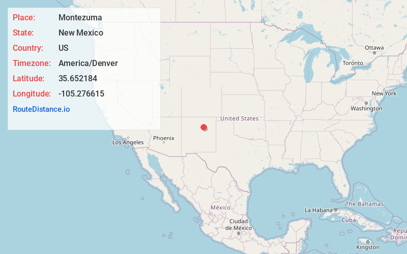
Full AddressMontezuma, NM 87731
-
Coordinates35.6521842, -105.2766154
-
LocationMontezuma , New Mexico , US
-
TimezoneAmerica/Denver
-
Current Local Time5:52:16 PM America/DenverSaturday, June 7, 2025
-
Page Views0
About Montezuma
Montezuma is an unincorporated community in San Miguel County, New Mexico, United States. It is five miles northwest of the city of Las Vegas, New Mexico, at the mouth of Gallinas Canyon. During the 2020 census, Montezuma had a population of 503. Of those, 363 were under the age of 20.
Nearby Places
Found 10 places within 50 miles

Los Vigiles
0.8 mi
1.3 km
Los Vigiles, NM 87701
Get directions
Trout Springs
3.6 mi
5.8 km
Trout Springs, NM 87701
Get directions
Gallinas
4.7 mi
7.6 km
Gallinas, NM 87701
Get directions

Las Vegas
5.0 mi
8.0 km
Las Vegas, NM 87701
Get directions
Agua Zarca
6.1 mi
9.8 km
Agua Zarca, NM 87701
Get directions
El Porvenir
6.7 mi
10.8 km
El Porvenir, NM 87731
Get directions
Mineral Hill
7.6 mi
12.2 km
Mineral Hill, NM 87701
Get directions
Emplazado
7.8 mi
12.6 km
Emplazado, NM 87745
Get directions
Las Tusas
7.8 mi
12.6 km
Las Tusas, NM 87745
Get directions
Sapello
8.4 mi
13.5 km
Sapello, NM 87745
Get directions
Location Links
Local Weather
Weather Information
Coming soon!
Location Map
Static map view of Montezuma, New Mexico
Browse Places by Distance
Places within specific distances from Montezuma
Short Distances
Long Distances
Click any distance to see all places within that range from Montezuma. Distances shown in miles (1 mile ≈ 1.61 kilometers).