Distance to Montgomery Township, Illinois

Calculating Your Route
Just a moment while we process your request...
Location Information
-
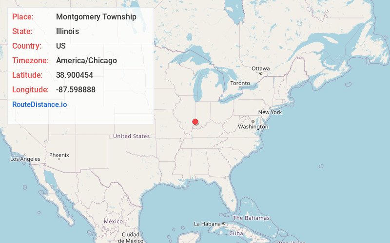
Full AddressMontgomery Township, IL
-
Coordinates38.9004542, -87.5988876
-
LocationMontgomery Township , Illinois , US
-
TimezoneAmerica/Chicago
-
Current Local Time7:39:12 PM America/ChicagoWednesday, June 4, 2025
-
Page Views0
About Montgomery Township
Montgomery Township is one of ten townships in Crawford County, Illinois, USA. As of the 2020 census, its population was 671 and it contained 289 housing units.

Nearby Places
Found 10 places within 50 miles

Heathsville
1.7 mi
2.7 km
Heathsville, IL 62427
Get directions
Morea
2.6 mi
4.2 km
Morea, Montgomery Township, IL 62451
Get directions
Oil Grove
3.5 mi
5.6 km
Oil Grove, Montgomery Township, IL 62427
Get directions

Flat Rock
3.9 mi
6.3 km
Flat Rock, IL 62427
Get directions
Riddleville
4.4 mi
7.1 km
Riddleville, Bond Township, IL 62427
Get directions

Birds
5.7 mi
9.2 km
Birds, IL 62427
Get directions
Duncanville
6.4 mi
10.3 km
Duncanville, Honey Creek Township, IL 62454
Get directions
Russellville
6.7 mi
10.8 km
Russellville, IL
Get directions

Palestine
7.2 mi
11.6 km
Palestine, IL 62451
Get directions

Pinkstaff
8.2 mi
13.2 km
Pinkstaff, IL 62427
Get directions
Location Links
Local Weather
Weather Information
Coming soon!
Location Map
Static map view of Montgomery Township, Illinois
Browse Places by Distance
Places within specific distances from Montgomery Township
Short Distances
Long Distances
Click any distance to see all places within that range from Montgomery Township. Distances shown in miles (1 mile ≈ 1.61 kilometers).