Distance to Montgomery, Vermont

Calculating Your Route
Just a moment while we process your request...
Location Information
-
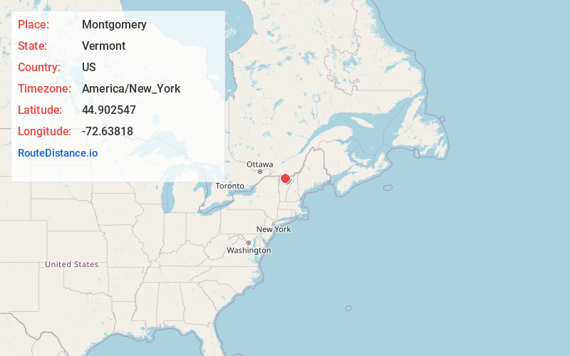
Full AddressMontgomery, VT
-
Coordinates44.9025466, -72.63818
-
LocationMontgomery , Vermont , US
-
TimezoneAmerica/New_York
-
Current Local Time5:53:42 AM America/New_YorkWednesday, June 18, 2025
-
Website
-
Page Views0
About Montgomery
Montgomery is a town in Franklin County, Vermont, United States. The population as of the 2020 census was 1,184. In 1963, part of Avery's Gore in Franklin County became part of Montgomery, with the other section becoming part of Belvidere in Lamoille County.


Nearby Places
Found 10 places within 50 miles

Richford
6.7 mi
10.8 km
Richford, VT 05476
Get directions

Enosburg
7.8 mi
12.6 km
Enosburg, VT
Get directions

Berkshire
7.9 mi
12.7 km
Berkshire, VT
Get directions

Troy
11.4 mi
18.3 km
Troy, VT
Get directions
Bakersfield
11.6 mi
18.7 km
Bakersfield, VT
Get directions

Eden
14.2 mi
22.9 km
Eden, VT
Get directions

Franklin
14.7 mi
23.7 km
Franklin, VT
Get directions

Sheldon
15.0 mi
24.1 km
Sheldon, VT
Get directions

Fairfield
16.6 mi
26.7 km
Fairfield, VT
Get directions

Highgate
20.5 mi
33.0 km
Highgate, VT
Get directions
Location Links
Local Weather
Weather Information
Coming soon!
Location Map
Static map view of Montgomery, Vermont
Browse Places by Distance
Places within specific distances from Montgomery
Short Distances
Long Distances
Click any distance to see all places within that range from Montgomery. Distances shown in miles (1 mile ≈ 1.61 kilometers).