Distance to Monticello, Illinois

Calculating Your Route
Just a moment while we process your request...
Location Information
-
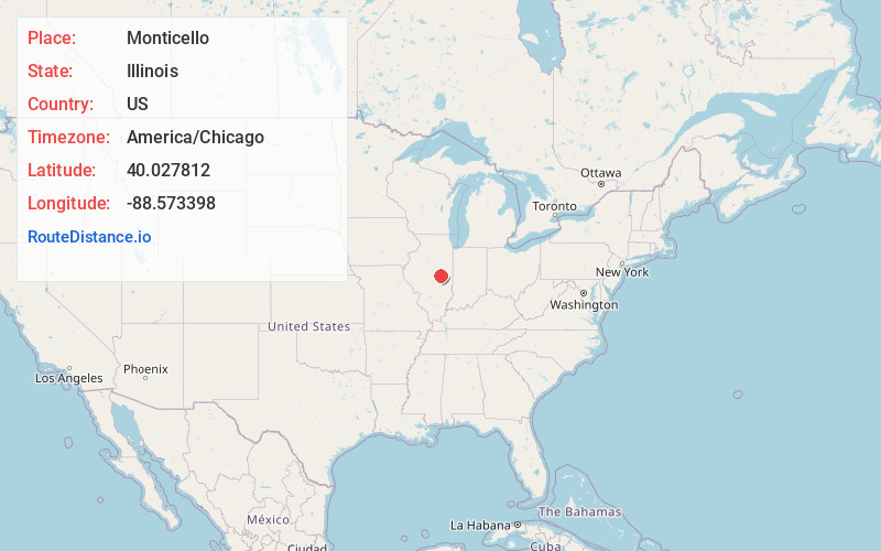
Full AddressMonticello, IL 61856
-
Coordinates40.0278116, -88.5733979
-
LocationMonticello , Illinois , US
-
TimezoneAmerica/Chicago
-
Current Local Time2:38:44 AM America/ChicagoThursday, May 29, 2025
-
Page Views0
About Monticello
Monticello is a city and county seat of Piatt County, Illinois, United States. The population was 5,941 at the 2020 census.


Nearby Places
Found 10 places within 50 miles

Mahomet
14.6 mi
23.5 km
Mahomet, IL
Get directions

Savoy
17.1 mi
27.5 km
Savoy, IL
Get directions

Champaign
18.5 mi
29.8 km
Champaign, IL
Get directions

Urbana
20.2 mi
32.5 km
Urbana, IL
Get directions

Clinton
22.4 mi
36.0 km
Clinton, IL 61727
Get directions

Mt Zion
23.8 mi
38.3 km
Mt Zion, IL
Get directions

Decatur
24.0 mi
38.6 km
Decatur, IL
Get directions

Rantoul
29.4 mi
47.3 km
Rantoul, IL 61866
Get directions

Bloomington
38.1 mi
61.3 km
Bloomington, IL
Get directions

Mattoon
39.1 mi
62.9 km
Mattoon, IL 61938
Get directions
Location Links
Local Weather
Weather Information
Coming soon!
Location Map
Static map view of Monticello, Illinois
Browse Places by Distance
Places within specific distances from Monticello
Short Distances
Long Distances
Click any distance to see all places within that range from Monticello. Distances shown in miles (1 mile ≈ 1.61 kilometers).