Distance to Monticello, North Carolina

Calculating Your Route
Just a moment while we process your request...
Location Information
-
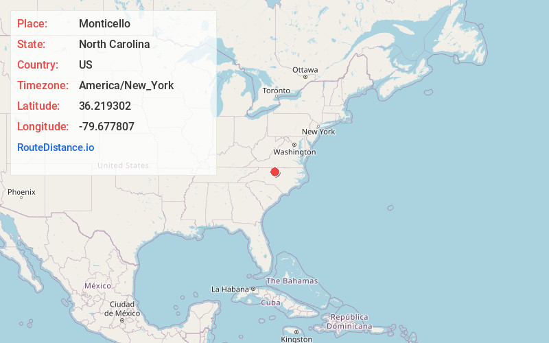
Full AddressMonticello, NC 27214
-
Coordinates36.2193017, -79.677807
-
LocationMonticello , North Carolina , US
-
TimezoneAmerica/New_York
-
Current Local Time2:02:21 PM America/New_YorkThursday, May 22, 2025
-
Page Views0
About Monticello
Monticello is an unincorporated community in Guilford County, North Carolina, United States. It is east of Browns Summit and lies east of U.S. Route 29, on North Carolina Highway 150. Its elevation is 855 feet above sea level.
Nearby Places
Found 10 places within 50 miles

Browns Summit
2.0 mi
3.2 km
Browns Summit, NC 27214
Get directions
Monroeton
5.8 mi
9.3 km
Monroeton, NC 27320
Get directions
McLeansville
7.8 mi
12.6 km
McLeansville, NC
Get directions

Reidsville
9.4 mi
15.1 km
Reidsville, NC 27320
Get directions
Ossipee
9.6 mi
15.4 km
Ossipee, NC 27244
Get directions

Gibsonville
10.9 mi
17.5 km
Gibsonville, NC
Get directions

Sedalia
11.0 mi
17.7 km
Sedalia, NC 27249
Get directions
Whitsett
11.6 mi
18.7 km
Whitsett, NC
Get directions

Greensboro
12.0 mi
19.3 km
Greensboro, NC
Get directions

Elon
12.5 mi
20.1 km
Elon, NC
Get directions
Location Links
Local Weather
Weather Information
Coming soon!
Location Map
Static map view of Monticello, North Carolina
Browse Places by Distance
Places within specific distances from Monticello
Short Distances
Long Distances
Click any distance to see all places within that range from Monticello. Distances shown in miles (1 mile ≈ 1.61 kilometers).