Distance to Montpelier, Wisconsin

Calculating Your Route
Just a moment while we process your request...
Location Information
-
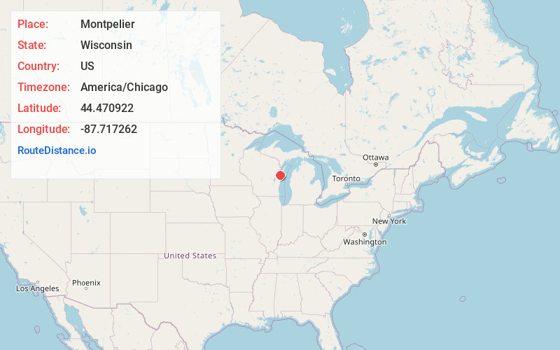
Full AddressMontpelier, WI
-
Coordinates44.4709219, -87.7172616
-
LocationMontpelier , Wisconsin , US
-
TimezoneAmerica/Chicago
-
Current Local Time4:46:54 AM America/ChicagoFriday, June 20, 2025
-
Page Views0
About Montpelier
Montpelier is a town in Kewaunee County, Wisconsin, United States. The population was 1,306 at the 2010 census.


Nearby Places
Found 10 places within 50 miles

Pilsen
2.0 mi
3.2 km
Pilsen, WI 54217
Get directions
Cherneyville
3.0 mi
4.8 km
Cherneyville, Montpelier, WI 54217
Get directions

Luxemburg
4.7 mi
7.6 km
Luxemburg, WI 54217
Get directions
Krok
5.1 mi
8.2 km
Krok, West Kewaunee, WI 54216
Get directions
Stangelville
5.1 mi
8.2 km
Stangelville, WI 54208
Get directions
Buckman
5.1 mi
8.2 km
Buckman, New Denmark, WI 54208
Get directions
Walhain
5.5 mi
8.9 km
Walhain, Luxemburg, WI 54217
Get directions
Eaton
6.3 mi
10.1 km
Eaton, WI
Get directions
East Krok
6.4 mi
10.3 km
East Krok, West Kewaunee, WI 54216
Get directions

New Franken
6.8 mi
10.9 km
New Franken, WI 54229
Get directions
Location Links
Local Weather
Weather Information
Coming soon!
Location Map
Static map view of Montpelier, Wisconsin
Browse Places by Distance
Places within specific distances from Montpelier
Short Distances
Long Distances
Click any distance to see all places within that range from Montpelier. Distances shown in miles (1 mile ≈ 1.61 kilometers).