Distance to Mooreland, Oklahoma

Calculating Your Route
Just a moment while we process your request...
Location Information
-
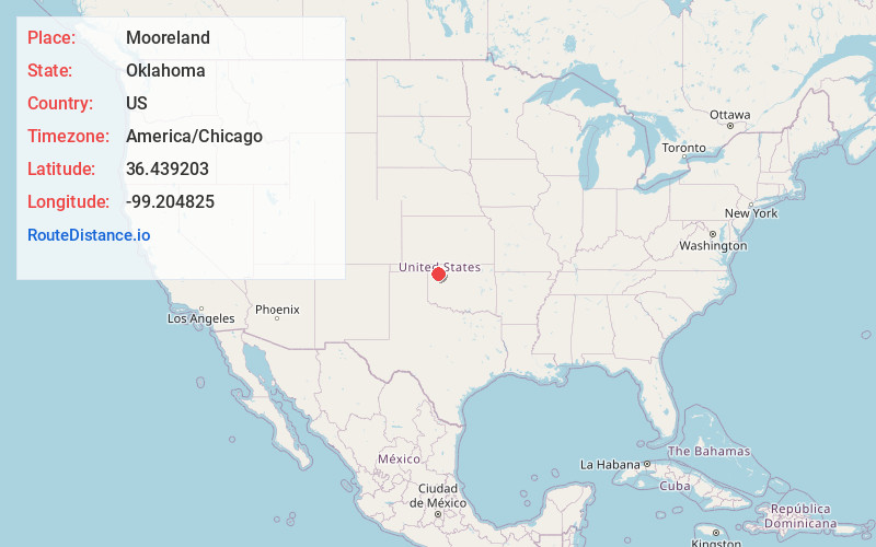
Full AddressMooreland, OK 73852
-
Coordinates36.4392031, -99.2048249
-
LocationMooreland , Oklahoma , US
-
TimezoneAmerica/Chicago
-
Current Local Time4:07:57 PM America/ChicagoWednesday, June 18, 2025
-
Page Views0
About Mooreland
Mooreland is a town in Woodward County, Oklahoma, United States, 10 miles east of the city of Woodward, the county seat. The population was 1,190 at the 2010 census. Mooreland lies in a valley approximately 5 miles north of the North Canadian River. This area of shallow-water land lies at an altitude of 1,900 feet.


Nearby Places
Found 6 places within 50 miles

Woodward
10.3 mi
16.6 km
Woodward, OK 73801
Get directions

Buffalo
36.2 mi
58.3 km
Buffalo, OK
Get directions

Alva
39.1 mi
62.9 km
Alva, OK 73717
Get directions

Shattuck
39.3 mi
63.2 km
Shattuck, OK 73858
Get directions

Fairview
42.0 mi
67.6 km
Fairview, OK 73737
Get directions

Laverne
42.5 mi
68.4 km
Laverne, OK 73848
Get directions
Location Links
Local Weather
Weather Information
Coming soon!
Location Map
Static map view of Mooreland, Oklahoma
Browse Places by Distance
Places within specific distances from Mooreland
Short Distances
Long Distances
Click any distance to see all places within that range from Mooreland. Distances shown in miles (1 mile ≈ 1.61 kilometers).