Distance to Moores Beach, North Carolina

Calculating Your Route
Just a moment while we process your request...
Location Information
-
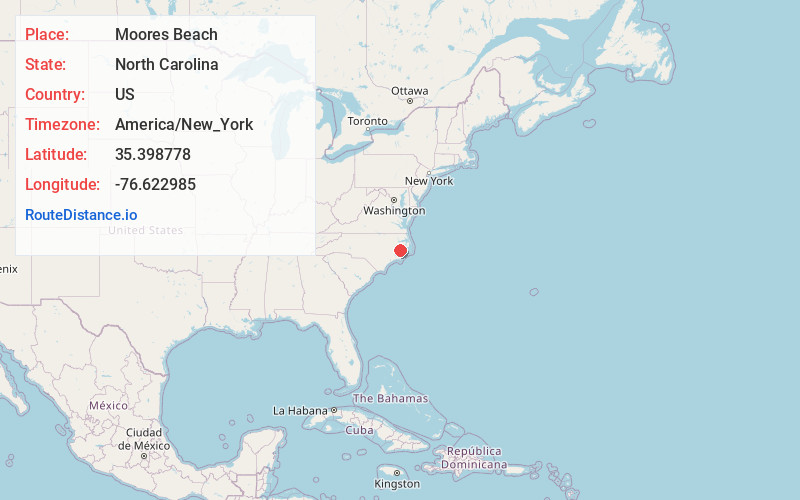
Full AddressMoores Beach, NC 27810
-
Coordinates35.3987779, -76.6229848
-
LocationNorth Carolina , US
-
TimezoneAmerica/New_York
-
Current Local Time7:04:33 PM America/New_YorkTuesday, June 17, 2025
-
Page Views0
Nearby Places
Found 10 places within 50 miles

Wades Point
0.1 mi
0.2 km
Wades Point, NC 27810
Get directions
Cockrell Beach
0.2 mi
0.3 km
Cockrell Beach, NC 27810
Get directions
Winsteadville
4.6 mi
7.4 km
Winsteadville, NC 27810
Get directions
Burbage Crossroads
5.7 mi
9.2 km
Burbage Crossroads, NC 27808
Get directions
South Creek
5.9 mi
9.5 km
South Creek, NC 27806
Get directions
Makleyville
6.1 mi
9.8 km
Makleyville, NC 27875
Get directions
Rest Haven
6.4 mi
10.3 km
Rest Haven, NC 27808
Get directions
Sidney Crossroads
6.4 mi
10.3 km
Sidney Crossroads, NC 27808
Get directions
Gaylord
7.1 mi
11.4 km
Gaylord, NC 27808
Get directions
Vinegar Hill
7.1 mi
11.4 km
Vinegar Hill, NC 27806
Get directions
Location Links
Local Weather
Weather Information
Coming soon!
Location Map
Static map view of Moores Beach, North Carolina
Browse Places by Distance
Places within specific distances from Moores Beach
Short Distances
Long Distances
Click any distance to see all places within that range from Moores Beach. Distances shown in miles (1 mile ≈ 1.61 kilometers).