Distance to Mooresville, North Carolina

Calculating Your Route
Just a moment while we process your request...
Location Information
-
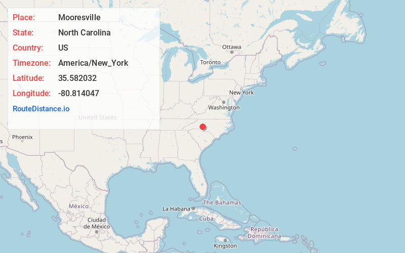
Full AddressMooresville, NC
-
Coordinates35.5820319, -80.8140473
-
LocationMooresville , North Carolina , US
-
TimezoneAmerica/New_York
-
Current Local Time10:04:17 PM America/New_YorkThursday, June 12, 2025
-
Website
-
Page Views0
About Mooresville
Mooresville is a town located in the southwestern section of Iredell County, North Carolina, United States, and is a part of the fast-growing Charlotte metropolitan area. The population was 50,193 at the 2020 census, making it the most populous municipality in Iredell County.


Nearby Places
Found 7 places within 50 miles

Huntersville
11.9 mi
19.2 km
Huntersville, NC 28078
Get directions

Concord
17.7 mi
28.5 km
Concord, NC
Get directions

Charlotte
25.0 mi
40.2 km
Charlotte, NC
Get directions

Gastonia
30.5 mi
49.1 km
Gastonia, NC
Get directions

Hickory
31.6 mi
50.9 km
Hickory, NC
Get directions

Rock Hill
47.1 mi
75.8 km
Rock Hill, SC
Get directions

Winston-Salem
47.7 mi
76.8 km
Winston-Salem, NC
Get directions
Location Links
Local Weather
Weather Information
Coming soon!
Location Map
Static map view of Mooresville, North Carolina
Browse Places by Distance
Places within specific distances from Mooresville
Short Distances
Long Distances
Click any distance to see all places within that range from Mooresville. Distances shown in miles (1 mile ≈ 1.61 kilometers).