Distance to Mooreville, Texas

Calculating Your Route
Just a moment while we process your request...
Location Information
-
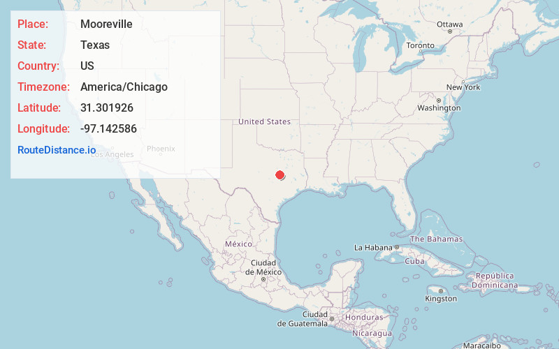
Full AddressMooreville, TX 76524
-
Coordinates31.301926, -97.142586
-
LocationMooreville , Texas , US
-
TimezoneAmerica/Chicago
-
Current Local Time2:39:41 PM America/ChicagoFriday, June 13, 2025
-
Page Views0
About Mooreville
Mooreville is an unincorporated community in Falls County, Texas, United States. It is located just off State Highway 7, four miles northwest of Chilton on Farm to Market Road 2643. Never incorporated, Mooreville posted a population of approximately 95 in 2000 after peaking at 180 in the late 19th century.
Nearby Places
Found 10 places within 50 miles

Cego
4.1 mi
6.6 km
Cego, TX 76524
Get directions

Chilton
4.8 mi
7.7 km
Chilton, TX 76632
Get directions

Bruceville-Eddy
6.0 mi
9.7 km
Bruceville-Eddy, TX
Get directions

Golinda
6.3 mi
10.1 km
Golinda, TX
Get directions

Blevins
6.7 mi
10.8 km
Blevins, TX 76524
Get directions

Satin
7.2 mi
11.6 km
Satin, TX
Get directions

Lorena
7.3 mi
11.7 km
Lorena, TX
Get directions

Lott
9.2 mi
14.8 km
Lott, TX 76656
Get directions

Belfalls
9.6 mi
15.4 km
Belfalls, TX 76579
Get directions

Troy
11.5 mi
18.5 km
Troy, TX
Get directions
Location Links
Local Weather
Weather Information
Coming soon!
Location Map
Static map view of Mooreville, Texas
Browse Places by Distance
Places within specific distances from Mooreville
Short Distances
Long Distances
Click any distance to see all places within that range from Mooreville. Distances shown in miles (1 mile ≈ 1.61 kilometers).